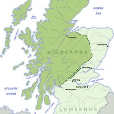
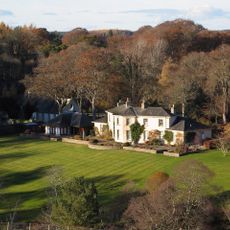
Dunearn, Iron Age fortification in Highland, Scotland
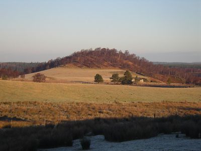
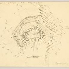
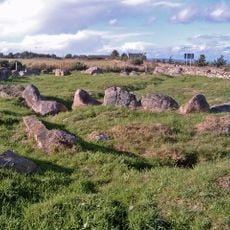
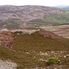
Dunearn is an Iron Age fortification on a hilltop in the Highlands that stretches for 245 meters along a plateau, featuring two parallel defensive walls that follow the natural slope of the terrain. The structure uses the topography as part of its defensive system and commands views over the surrounding valleys.
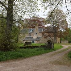
This fortification was built during the Iron Age and shows signs of vitrification on its inner rampart, indicating intense heat exposure at some point in its past. The site later became farmland and remained in use for agriculture until the early 1900s.
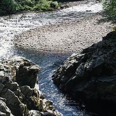
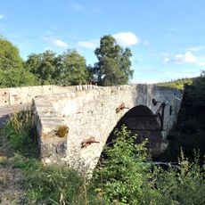
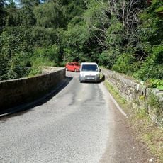
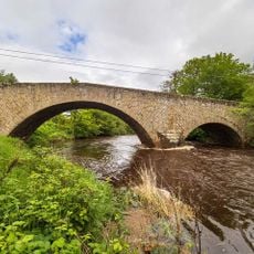
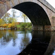
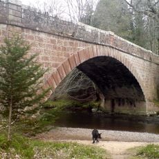
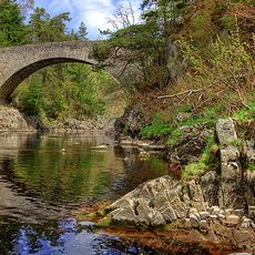
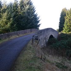
The name comes from Scottish Gaelic 'Dùn Éireann', meaning 'Hill fort on the Findhorn', a reference to its position near the river. Visitors can trace this connection to the landscape today when standing on the plateau and looking down toward the valley.
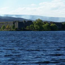
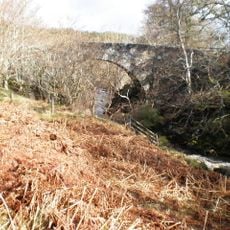
The site sits at 266 meters above sea level and offers clear views across the Findhorn Valley and the pass of Streens to the west. The hilltop location makes it relatively easy to reach, but sturdy footwear is advisable because of the uneven terrain.
During World War II, the military set up an artillery position at this ancient fort, adding a modern defensive chapter to the site's long history. This military use connects thousands of years of fortification purposes at the same location.
The community of curious travelers
AroundUs brings together thousands of curated places, local tips, and hidden gems, enriched daily by 60,000 contributors worldwide.