
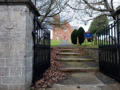
Churchyard, Earlston Parish Church, Church Street, Earlston
Churchyard, Earlston Parish Church, Church Street, Earlston, churchyard in Scottish Borders, Scotland, UK
Location: Scottish Borders
Location: Earlston
GPS coordinates: 55.64037,-2.66771
Latest update: March 5, 2025 01:28
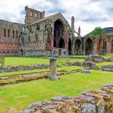
Melrose Abbey
5.6 km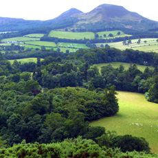
Trimontium
4.5 km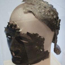
Newstead Helmet
4.4 km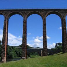
Leaderfoot Viaduct
4.1 km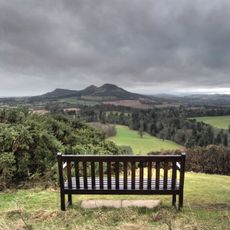
Scott's View
4.7 km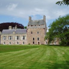
Bemersyde House
5.5 km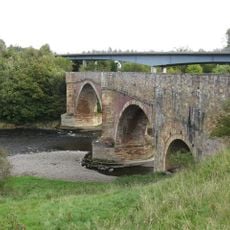
Drygrange, Old Bridge
4.1 km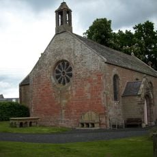
Legerwood Kirk
4.9 km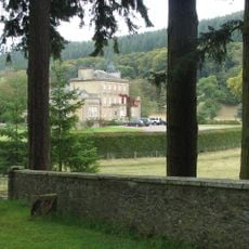
Carolside
2.1 km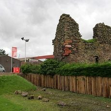
Rhymer's Tower
990 m
Rhymer's Tower
988 m
Cowdenknowes House
1.7 km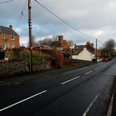
Earlston Parish Church, Church Street, Earlston
21 m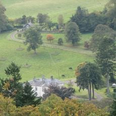
Leadervale House
1.8 km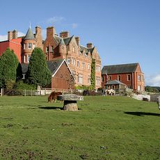
Drygrange House
3.3 km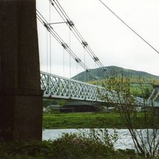
Gattonside Suspension Footbridge
5.4 km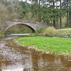
Earlston, Carolside, Carolside Bridge
2.1 km
The Rigg, Melrose, Gattonside
5.1 km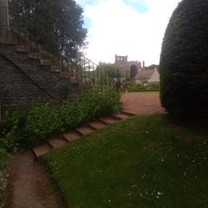
Melrose Abbey, Commendator's House
5.5 km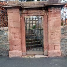
Earlston, Thorn Street, The Thorn & Gateway
791 m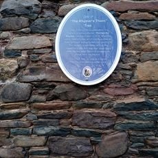
Earlston, Thorn Street, The Thorn, Wash House & Stable Block
788 m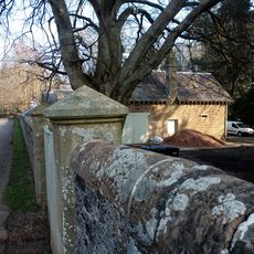
Stables, Ravenswood
4.5 km
South Lodge, Ravenswood
4.8 km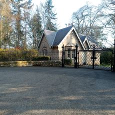
Ravenswood, North Lodge Including Gates And Railings
4.5 km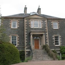
Harmony House
5.6 km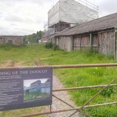
Melrose Abbey, Dovecot And Adjoining Byre Range
5.5 km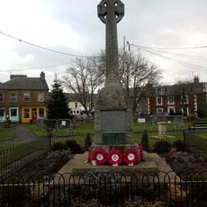
Earlston, Earlston War Memorial
632 m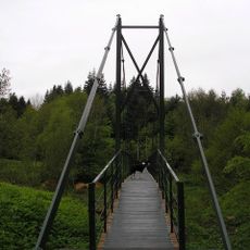
Clackmae Suspension Bridge
1.6 kmVisited this place? Tap the stars to rate it and share your experience / photos with the community! Try now! You can cancel it anytime.
Discover hidden gems everywhere you go!
From secret cafés to breathtaking viewpoints, skip the crowded tourist spots and find places that match your style. Our app makes it easy with voice search, smart filtering, route optimization, and insider tips from travelers worldwide. Download now for the complete mobile experience.

A unique approach to discovering new places❞
— Le Figaro
All the places worth exploring❞
— France Info
A tailor-made excursion in just a few clicks❞
— 20 Minutes