
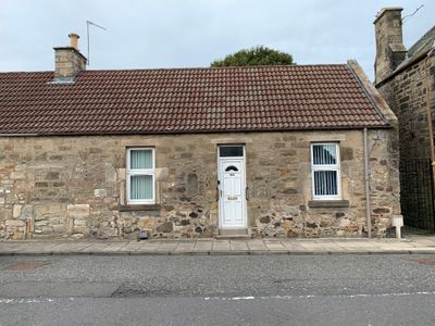
20 Main Street, Kirknewton, architectural structure in West Lothian, Scotland, UK
Location: West Lothian
Location: Kirknewton
GPS coordinates: 55.88766,-3.41863
Latest update: March 8, 2025 04:10

Dalmahoy
3.5 km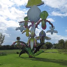
Jupiter Artland
2.1 km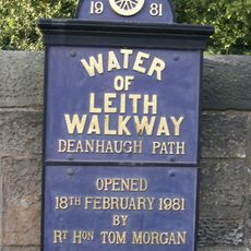
Water of Leith Walkway
4.9 km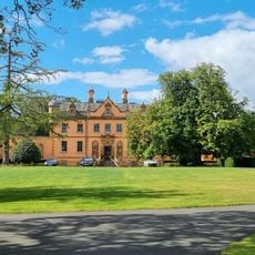
Bonnington House
2.1 km
Hatton House
2.2 km
Kirknewton House
527 m
Almond Aqueduct
3.8 km
Almondell and Calderwood Country Park
3 km
Malleny House and Garden
5.1 km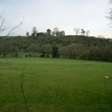
Illieston Castle
3.3 km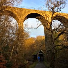
Camps Viaduct
3.1 km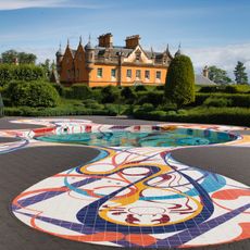
Jupiter Artland
1.5 km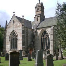
Mid Calder Parish Church
4 km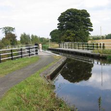
Bonnington Aqueduct
4.1 km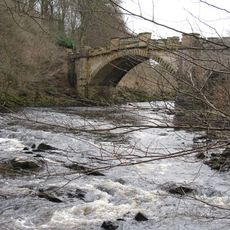
Almondell Bridge
3.2 km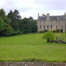
Calder House
4.1 km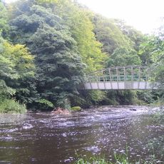
Almondell Aqueduct
3.1 km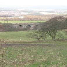
Linhouse Water, Railway Viaduct
4.3 km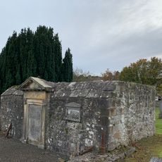
Kirknewton Burial Ground, Maconochies Of Meadowbank Burial Enclosure
56 m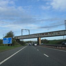
Birdsmill railway bridge
4.3 km
Tormain Hill,cup & ring marked rocks 700m NE of Bonnington Mains
3.1 km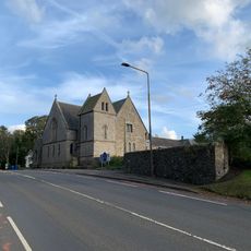
Kirknewton Parish Church
772 m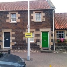
54 Main Street, Ratho
4.5 km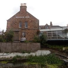
Bridge Inn, 27 Baird Road, Ratho, Union Canal
4.7 km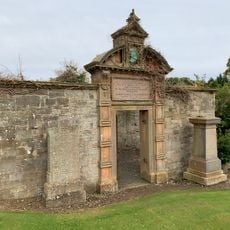
Kirknewton Burial Ground, Dr. Cullen Burial Enclosure
73 m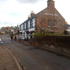
Union Canal, Ratho, Baird Road, Bridge No. 15
4.7 km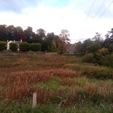
Ratho, Baird Road, Ratho Parish Church And Lady's Well
4.7 km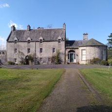
Malleny House
5.1 kmVisited this place? Tap the stars to rate it and share your experience / photos with the community! Try now! You can cancel it anytime.
Discover hidden gems everywhere you go!
From secret cafés to breathtaking viewpoints, skip the crowded tourist spots and find places that match your style. Our app makes it easy with voice search, smart filtering, route optimization, and insider tips from travelers worldwide. Download now for the complete mobile experience.

A unique approach to discovering new places❞
— Le Figaro
All the places worth exploring❞
— France Info
A tailor-made excursion in just a few clicks❞
— 20 Minutes