
Dundonald, civil parish in County Down, Northern Ireland
Location: County Down
Location: Castlereagh Lower
GPS coordinates: 54.59115,-5.78894
Latest update: August 23, 2025 21:14

Parliament Buildings
3.2 km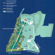
Stormont Estate
3.2 km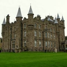
Stormont Castle
2.9 km
Scrabo Tower
4.9 km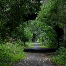
Clandeboye Estate
7.3 km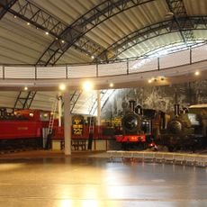
Ulster Folk and Transport Museums
6.6 km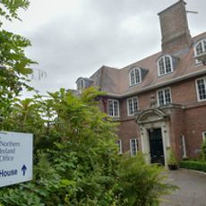
Stormont House
3 km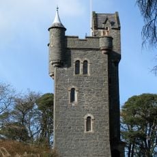
Helen's Tower
7 km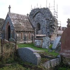
Movilla Abbey
6.4 km
Dundonald House
2.5 km
St Mark's Church
5.7 km
Result
7.3 km
Ulster Folk Museum
6.5 km
Seapark Beach
6.9 km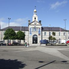
Town Hall Conway Square Newtownards Co. Down
6 km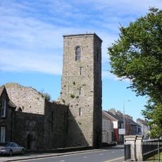
Newtownards Priory
6.3 km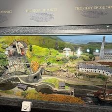
Ulster Transport Museum
7 km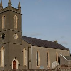
Comber Abbey
5.2 km
Banana Block
6.9 km
EastSide Visitor Centre
6.6 km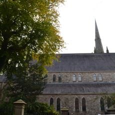
Holywood Parish Church Of Ireland 71 Church Road Holywood Co Down Bt18 9bx
6 km
Holywood Arches Library
6.5 km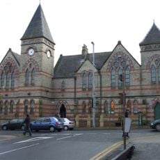
Holywood Library
6.3 km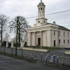
Castlereagh Presbyterian Church 79 Church Road Castlereagh Belfast County Antrim Bt6 9sa
6.2 km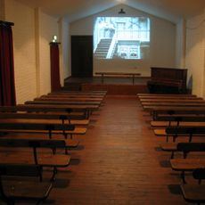
Picture House
6.5 km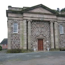
Comber Non-subscribing Presbyterian Church Mill Street Comber Co. Down
5.1 km
Scrabo Tower (londonderry Monument) Scrabo Hill Scrabo Newtownards Co Down Bt23
4.9 km
Parliament Buildings Stormont Estate Upper Newtownards Road Belfast
3.2 kmReviews
Visited this place? Tap the stars to rate it and share your experience / photos with the community! Try now! You can cancel it anytime.
Discover hidden gems everywhere you go!
From secret cafés to breathtaking viewpoints, skip the crowded tourist spots and find places that match your style. Our app makes it easy with voice search, smart filtering, route optimization, and insider tips from travelers worldwide. Download now for the complete mobile experience.

A unique approach to discovering new places❞
— Le Figaro
All the places worth exploring❞
— France Info
A tailor-made excursion in just a few clicks❞
— 20 Minutes