County Down, Administrative region in Northern Ireland
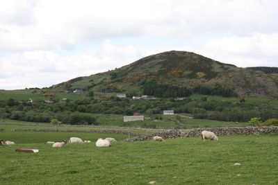
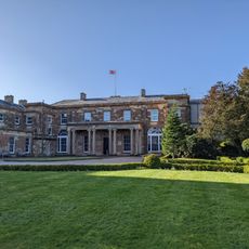
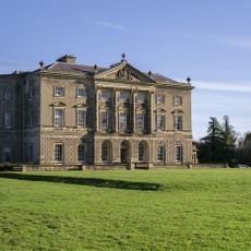
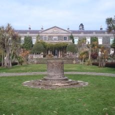
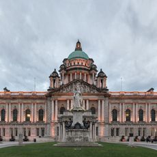
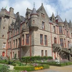
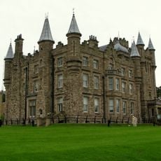
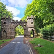
County Down is an administrative division in Northern Ireland between Belfast Lough and the Irish Sea, covering Strangford Lough, the Mourne Mountains, and long stretches of coastline. The area spreads across wide farmland, forest tracts, and small towns linked by a network of secondary roads.
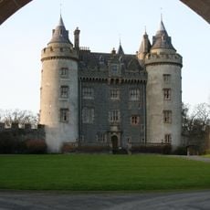
The territory belonged to the kingdom of Ulaid until the twelfth century, when Norman knights took control and introduced a new administrative structure. The boundaries were adjusted several times and today form one of the six counties of Northern Ireland.
The earls held the title until administrative reorganisation, and the coat of arms displays a red cross on gold with three stars. The cross recalls the link to the island's conversion to Christianity and still shapes many place names and local symbols today.
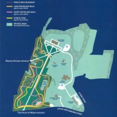
Main roads run along the coast and cross the interior in a north-south direction, with smaller lanes leading to remote bays and hills. Visitor centers in Downpatrick and Newcastle offer orientation maps and guidance on walking routes and nature reserves.
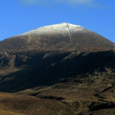
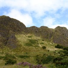
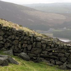
In the Mourne Mountains, granite grew that was exported to London in the nineteenth century and used there for building public structures. Some of the old quarries remain visible and show the marks of hammer and chisel work on the rock faces.
The community of curious travelers
AroundUs brings together thousands of curated places, local tips, and hidden gems, enriched daily by 60,000 contributors worldwide.