Lough Neagh, Freshwater lake in Northern Ireland, United Kingdom
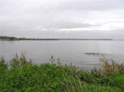
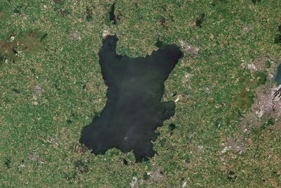
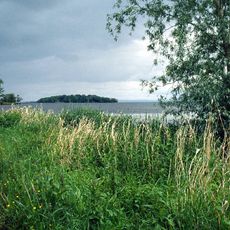
Lough Neagh is a freshwater lake in Northern Ireland that covers roughly 390 square kilometers with a maximum depth of 25 meters, making it the largest lake in the British Isles. Five of the six counties in Northern Ireland border its shoreline, while several rivers flow into the shallow basin.
Finds at Toome Bay show that people settled along the shore thousands of years ago, leaving behind tools and objects from that time. Later the lake became an important boundary between Irish kingdoms and remained a reference point for regional power.
Fishermen on the lake use special methods for catching eels that have been passed down within families for centuries. The technique requires knowledge of local currents and how the fish move through the shallow water.
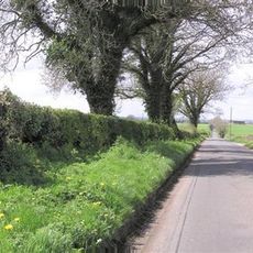
Access to the water comes through different small towns around the shore, with paths often leading through wetlands and reed beds. Weather changes quickly and wind over the open surface can be stronger than expected.
The entire lakebed remains privately owned by an aristocratic family to this day, even though the water itself is used publicly. This unusual legal situation regularly leads to debates about access and usage rights.
The community of curious travelers
AroundUs brings together thousands of curated places, local tips, and hidden gems, enriched daily by 60,000 contributors worldwide.