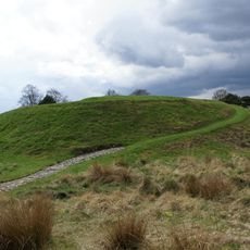
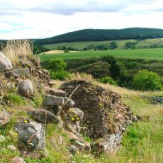
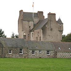
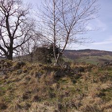
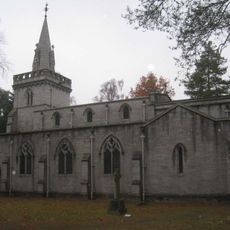
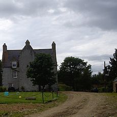
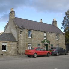
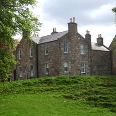
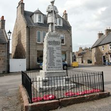
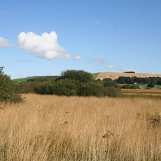
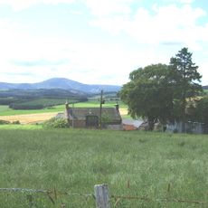
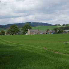
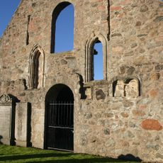
Lumphanan, Scottish parish in Aberdeenshire, Scotland, UK
Location: Aberdeenshire
Shares border with: Tough, Kincardine O'Neil, Aboyne and Glen Tanar, Coull, Leochel-Cushnie
GPS coordinates: 57.13195,-2.70313
Latest update: March 20, 2025 20:53
Dinnie Stones
8.1 km
Craigievar Castle
4.8 km
Aboyne Castle
7.4 km
Kincardine Castle
5.4 km
Tomnaverie, stone circle
9 km
Corse Castle
3.7 km
Peel of Lumphanan
1.1 km
Coull Castle
6.7 km
Balfluig Castle
10.3 km
Auchenhove Castle
3.1 km
Culsh Earth House
7.1 km
Aboyne Stone Circle
7.7 km
Glassel stone circle
8.9 km
Bridge of Potarch
8.1 km
Aboyne, Ballater Road, St Thomas's Episcopal Church, Boiler House
8.3 km
Mains of Hallhead
6.6 km
Tarland, The Square, Aberdeen Arms Hotel
9.4 km
Tarland, Cromar Drive, St Moluag's Church
9.1 km
Manse Of Lumphanan
1 km
Beltie Burn Viaduct
3.4 km
Allach Bridge
7.3 km
Aboyne Bridge
8.6 km
Kincardine O'Neil, North Deeside Road, Church
5.4 km
Tarland, The Square, War Memorial
9.5 km
Wartle
3.1 km
Woodfield
6 km
Auchlossan
2.7 km
Kincardine O'Neil Hospital
5.4 kmReviews
Visited this place? Tap the stars to rate it and share your experience / photos with the community! Try now! You can cancel it anytime.
Discover hidden gems everywhere you go!
From secret cafés to breathtaking viewpoints, skip the crowded tourist spots and find places that match your style. Our app makes it easy with voice search, smart filtering, route optimization, and insider tips from travelers worldwide. Download now for the complete mobile experience.
A unique approach to discovering new places❞
— Le Figaro
All the places worth exploring❞
— France Info
A tailor-made excursion in just a few clicks❞
— 20 Minutes