Monzievaird and Strowan, Scottish parish in Perth and Kinross, Scotland, UK
Location: Perth and Kinross
Part of: Presbytery of Auchterarder
Shares border with: Fowlis Wester, Crieff, Muthill, Comrie, Kenmore, Dull
GPS coordinates: 56.43209,-3.94730
Latest update: March 11, 2025 12:06
Cultybraggan Camp
9 km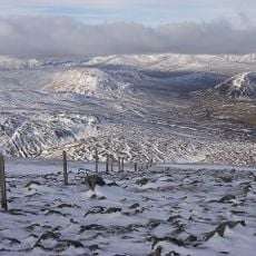
Ben Chonzie
3.7 km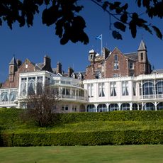
Crieff Hydro
8.9 km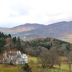
Aberuchill Castle
9.1 km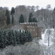
Monzie Castle
8.3 km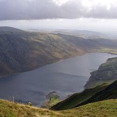
Loch Turret
739 m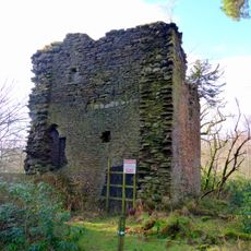
Castle Cluggy
6.3 km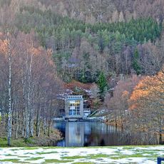
Dalchonzie
8.2 km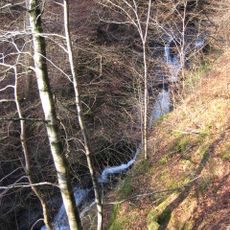
Falls of Barvick
6.3 km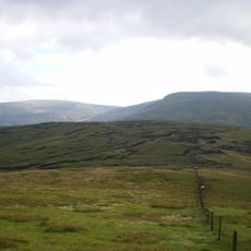
Creagan na Beinne
10.2 km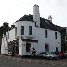
Comrie, 1 Dunira Street
6.9 km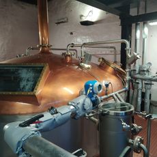
Glenturret Distillery Visitor Centre
7.5 km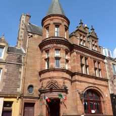
Crieff, 30, 32, 34, 36, 38, 40 High Street
9.4 km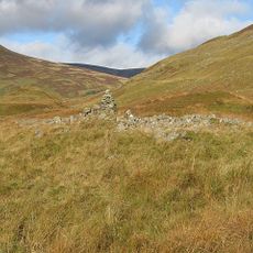
Clach na Tiompan, long cairn, standing stone and cairn
5.4 km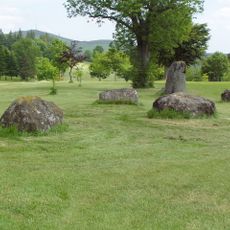
Ferntower stone circle
9.2 km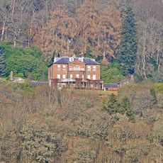
Ochtertyre House
6.1 km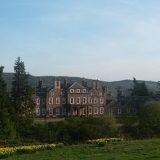
Lawers House
5.3 km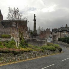
Crieff, Comrie Street, South United Free Church
9.1 km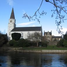
Comrie, Dunira Street, Old Parish Church
7 km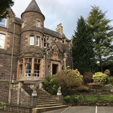
Crieff, 40 Drummond Terrace, Roundelwood
8.5 km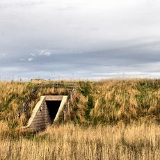
Cultybraggan nuclear bunker
8.8 km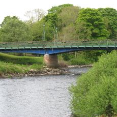
Dalginross Bridge, Comrie
7 km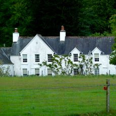
Dalchonzie House
8.2 km
Dalchonzie Mill Bridge
8 km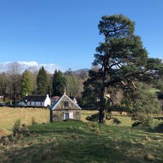
Earthquake House, The Ross, Comrie
7.5 km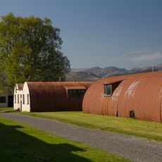
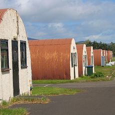
Comrie, Cultybraggan Former Cadet Camp, Huts 1-3, 21, 29-39, 47-57 (all Nos Inclusive)
9 km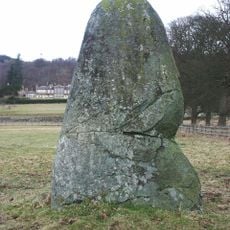
Lawers, standing stone 390m SSE of
5.7 km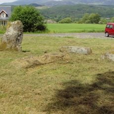
Dunmoid,stone circle 350m NW of Muirend
7.4 kmVisited this place? Tap the stars to rate it and share your experience / photos with the community! Try now! You can cancel it anytime.
Discover hidden gems everywhere you go!
From secret cafés to breathtaking viewpoints, skip the crowded tourist spots and find places that match your style. Our app makes it easy with voice search, smart filtering, route optimization, and insider tips from travelers worldwide. Download now for the complete mobile experience.

A unique approach to discovering new places❞
— Le Figaro
All the places worth exploring❞
— France Info
A tailor-made excursion in just a few clicks❞
— 20 Minutes