Strachan, Scottish parish in Aberdeenshire, Scotland, UK
Location: Aberdeenshire
Shares border with: Durris, Glenbervie, Fordoun, Fettercairn, Edzell, Lochlee, Birse, Banchory-Ternan
GPS coordinates: 56.97083,-2.59780
Latest update: March 4, 2025 14:33
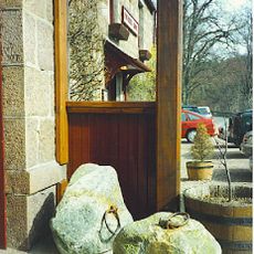
Dinnie Stones
11 km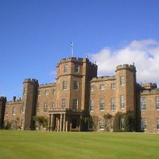
Fasque House
11.3 km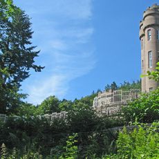
Drumtochty Castle
9.2 km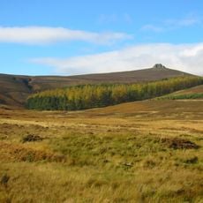
Clachnaben
2.4 km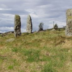
Colmeallie stone circle
11.2 km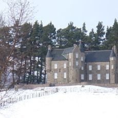
Birse Castle
12.3 km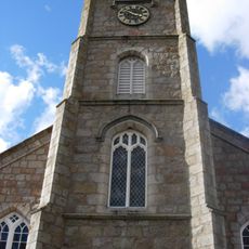
Banchory Ternan East Church
11.4 km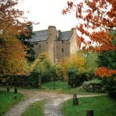
Tilquhillie Castle
11.2 km
Kinneskie Road drill hall, Banchory
10.4 km
Banchory Town Hall
10.6 km
Falls of Feugh
10.4 km
Drumtochty, Saint Palladius's Episcopal Church
9.8 km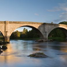
Bridge of Potarch
10.9 km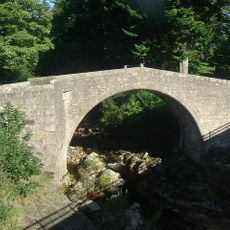
Old bridge of Dye
1.5 km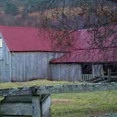
Finzean, Bucket Mill
7.4 km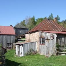
Finzean Sawmill And Turning Mill
6.7 km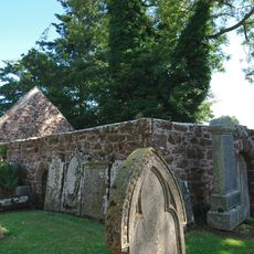
Auchenblae, St Palladius's Chapel
12.2 km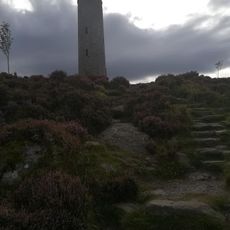
Scolty Wood, General Burnett's Monument
8.3 km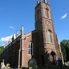
Auchenblae Parish Church
12.1 km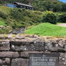
Clatterin' Brig
9 km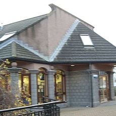
Banchory Library
10.6 km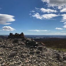
Cairn O' Mount - Cairn
6.2 km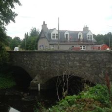
Bridge of Canny
10.5 km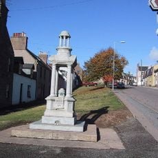
Bruce Fountain, High Street, Auchenblae
12 km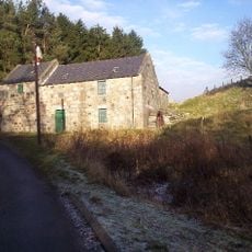
Aucheen Corn Mill
12.4 km
East Mains of Balfour,farmstead 550m NNE of
12 km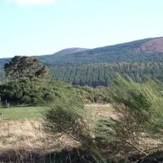
Castlehill of Strachan
5.7 km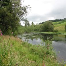
Loch Saugh
8.8 kmVisited this place? Tap the stars to rate it and share your experience / photos with the community! Try now! You can cancel it anytime.
Discover hidden gems everywhere you go!
From secret cafés to breathtaking viewpoints, skip the crowded tourist spots and find places that match your style. Our app makes it easy with voice search, smart filtering, route optimization, and insider tips from travelers worldwide. Download now for the complete mobile experience.

A unique approach to discovering new places❞
— Le Figaro
All the places worth exploring❞
— France Info
A tailor-made excursion in just a few clicks❞
— 20 Minutes