Carmyllie, Scottish parish in Angus, Scotland, UK
Location: Angus
Shares border with: Inverkeilor, Arbroath and St Vigeans, Arbirlot, Panbride, Monikie, Inverarity, Dunnichen, Kirkden
GPS coordinates: 56.58089,-2.73874
Latest update: March 10, 2025 12:50

Guthrie Castle
7.2 km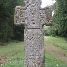
Camus Cross
6.2 km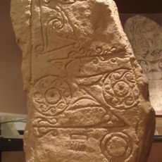
Dunnichen Stone
6.5 km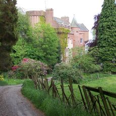
Colliston Castle
7.2 km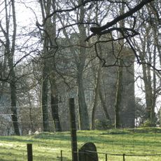
Affleck Castle
7.1 km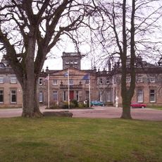
Letham Grange
8 km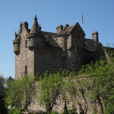
Gardyne Castle
5.9 km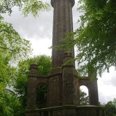
Panmure Testimonial
6.6 km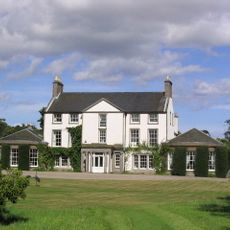
Pitmuies House
6.6 km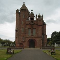
Arbroath, Western Cemetery, Mortuary Chapel
7.9 km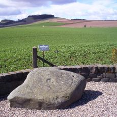
Girdle Stane
6.6 km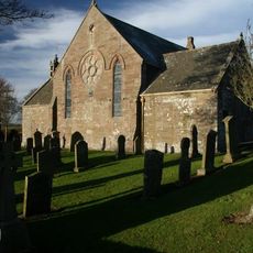
Carmyllie, St Mary's Chapel And Parish Church
893 m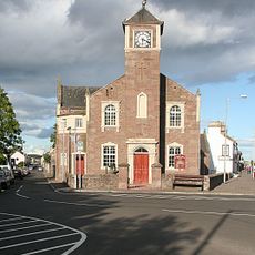
Friockheim And Kinnel Quoad Sacra Parish Church, Friockheim
7.6 km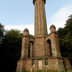
Commemorative Column, Panmure Estate
4.6 km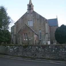
Arbirlot Parish Church
6.2 km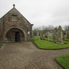
Guthrie Collegiate Aisle
7.3 km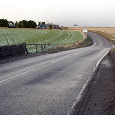
Carmyllie Bridge
1.3 km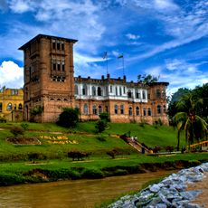
Kellie Castle
6.9 km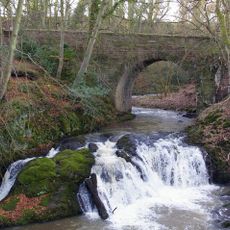
Arbirlot, Bridge
6.2 km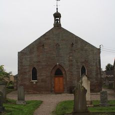
Guthrie Parish Church And Churchyard
7.3 km
Pitmuies, Over Bridge
6.8 km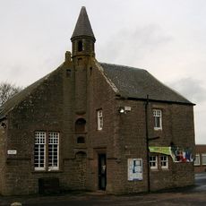
Carmyllie, Primary School
2 km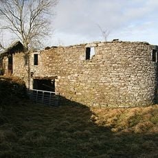
Holemill, Old Corn Mill
6.5 km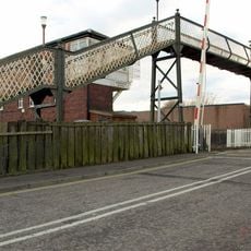
Auldbar Road, Balgavies, (former Station House) Including Stable, Signal Box, Platform, External Staircase, Railings And Retain
7.5 km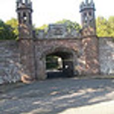
Guthrie Castle, Railway Bridge
6.8 km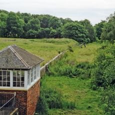
Signal Box, Auldbar Road Station
7.5 km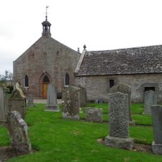
Guthrie Churchyard, Gateway
7.3 km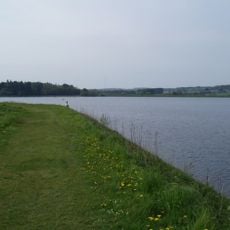
Monikie Reservoirs
6.5 kmVisited this place? Tap the stars to rate it and share your experience / photos with the community! Try now! You can cancel it anytime.
Discover hidden gems everywhere you go!
From secret cafés to breathtaking viewpoints, skip the crowded tourist spots and find places that match your style. Our app makes it easy with voice search, smart filtering, route optimization, and insider tips from travelers worldwide. Download now for the complete mobile experience.

A unique approach to discovering new places❞
— Le Figaro
All the places worth exploring❞
— France Info
A tailor-made excursion in just a few clicks❞
— 20 Minutes