Tynron, Scottish parish in Dumfries and Galloway, Scotland, UK
Location: Dumfries and Galloway
Shares border with: Keir, Glencairn, Dalry, Penpont
GPS coordinates: 55.24327,-3.94143
Latest update: March 6, 2025 16:18
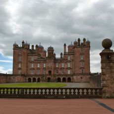
Drumlanrig Castle
9.1 km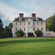
Craigdarroch
5.7 km
Tibbers Castle
9.7 km
Tynron Doon
5.7 km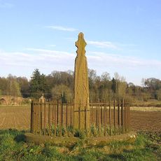
Nith Bridge,cross 180m W of
10.2 km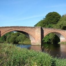
Nith Bridge
10.4 km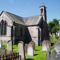
Tynron Parish Church
5 km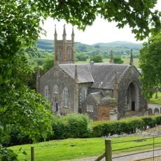
Kirkland, Glencairn Parish Church
7 km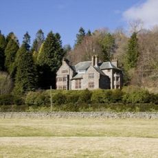
Glenluiart
5.2 km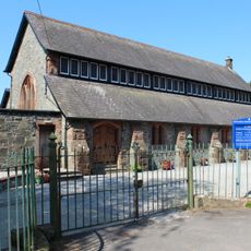
Moniaive, North Street, St Ninian's Parish Church
5.2 km
Churchyard of Glencairn Parish Church
7 km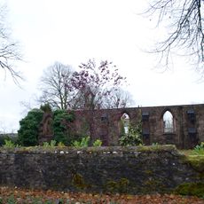
Church, Dunreggan
5.7 km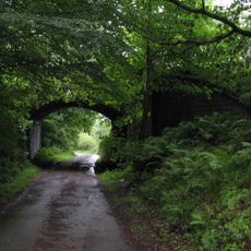
Carronhill Glen, Viaduct
11.2 km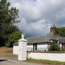
South Lodge And Gatepiers, Maxwelton House
8.7 km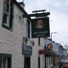
Moniaive, High Street, George Hotel
5.3 km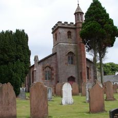
Keir Mill, Church And Churchyard
9.7 km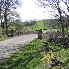
Laird's Bridge
2.3 km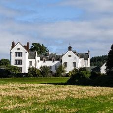
Maxwelton House
8.4 km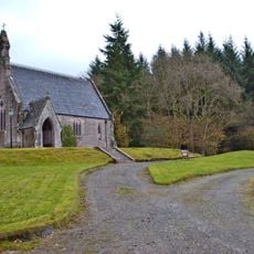
Maxwelton House, Episcopal Chapel And Lych Gate
8.7 km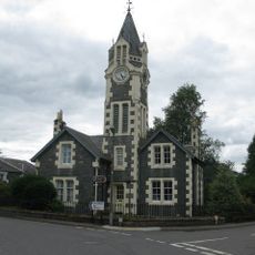
Tower House, Ayr Street, Moniaive
5.2 km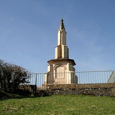
Renwick's Monument, Moniaive
5 km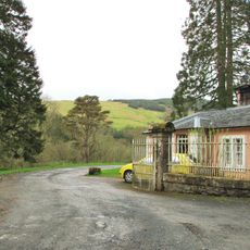
Lodge, Craigdarroch
5.5 km
Drumlanrig Estate, Creel Bridge
9.9 km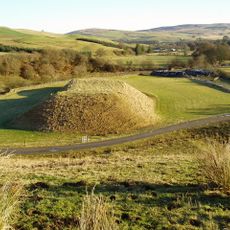
Lochrinnie Mote,motte 250m WNW of Craigmuie Lodge
9.8 km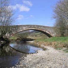
Kirkland, Cairn Water, Kirkland Bridge
7.5 km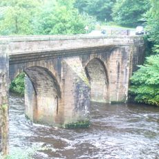
Drumlanrig Estate, Bridge
10 km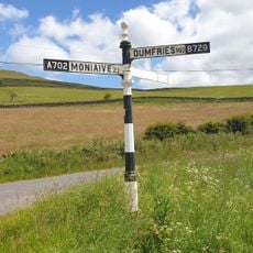
Kirkland, Signpost At Junction Of A702 And B729
7.4 km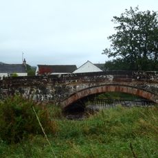
Moniaive, Waulkmill Bridge
5.5 kmVisited this place? Tap the stars to rate it and share your experience / photos with the community! Try now! You can cancel it anytime.
Discover hidden gems everywhere you go!
From secret cafés to breathtaking viewpoints, skip the crowded tourist spots and find places that match your style. Our app makes it easy with voice search, smart filtering, route optimization, and insider tips from travelers worldwide. Download now for the complete mobile experience.

A unique approach to discovering new places❞
— Le Figaro
All the places worth exploring❞
— France Info
A tailor-made excursion in just a few clicks❞
— 20 Minutes