Whitburn, Scottish parish in West Lothian, Scotland, UK
Location: West Lothian
Shares border with: Livingston, West Calder, Cambusnethan, Shotts, Bathgate
GPS coordinates: 55.85085,-3.68433
Latest update: March 5, 2025 05:48
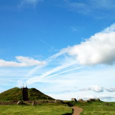
Cairnpapple Hill
9.4 km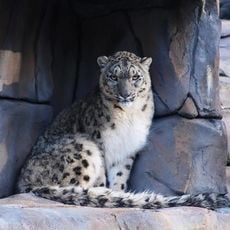
Five Sisters Zoo
7.7 km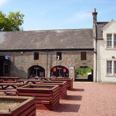
Polkemmet Country Park
2.8 km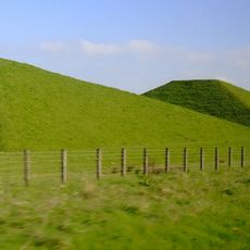
Pyramids
6.7 km
Hannah Park
8.2 km
East Kirkton Quarry
7.3 km
Wilsontown Ironworks
8.1 km
Almond Valley Heritage Centre
9.3 km
Creamery Park
5.7 km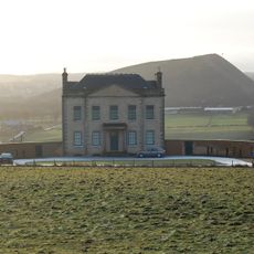
Blackburn House, West Lothian
5.9 km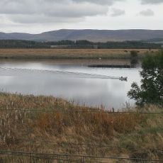
Cobbinshaw Reservoir
8.8 km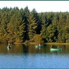
Eliburn Reservoir
9.6 km
Bridge Castle
7.7 km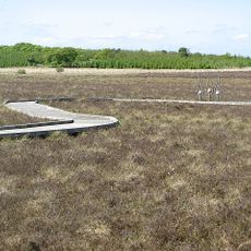
Blawhorn Moss National Nature Reserve
7.9 km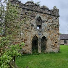
Murieston Castle
10.3 km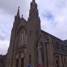
Church of the Immaculate Conception, Bathgate
6.4 km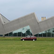
Centre Link, Shotts
8.5 km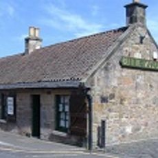
Bennie Museum
6.3 km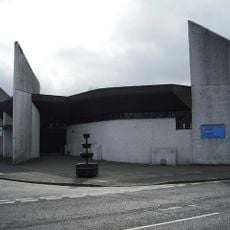
Brucefield Church
1.7 km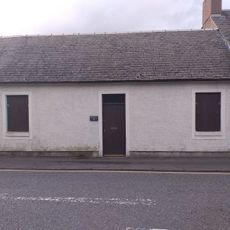
22 Livery Street
6.4 km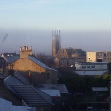
Bathgate High Church
6.5 km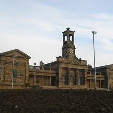
Former Bathgate Academy building
6.4 km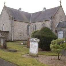
Whitburn Parish Kirk
1.3 km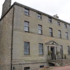
Hermand House
8.1 km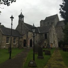
Torphichen Kirk
9.5 km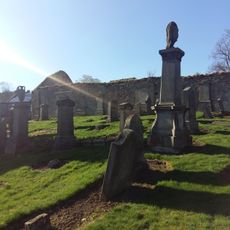
Kirkton,old parish church 400m ESE of Kirkton Mains,Bathgate
6.6 km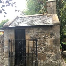
Torphichen Parish Church, Churchyard, Gatehouse
9.5 km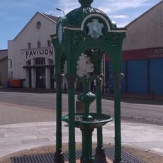
Pavilion Bingo (Former Pavilion Cinema), 19, 21 George Place
6.1 kmVisited this place? Tap the stars to rate it and share your experience / photos with the community! Try now! You can cancel it anytime.
Discover hidden gems everywhere you go!
From secret cafés to breathtaking viewpoints, skip the crowded tourist spots and find places that match your style. Our app makes it easy with voice search, smart filtering, route optimization, and insider tips from travelers worldwide. Download now for the complete mobile experience.

A unique approach to discovering new places❞
— Le Figaro
All the places worth exploring❞
— France Info
A tailor-made excursion in just a few clicks❞
— 20 Minutes