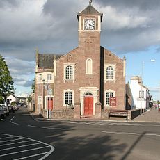
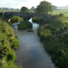
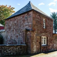
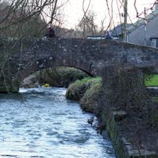
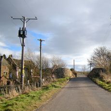
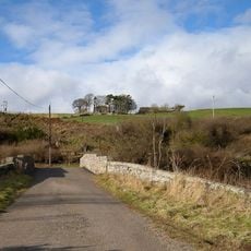
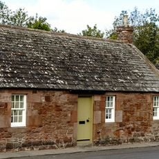
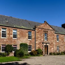
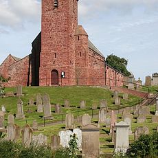
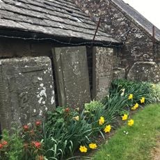
Inverkeilor, Scottish parish in Angus, Scotland, UK
Location: Angus
Shares border with: Lunan, Arbroath and St Vigeans, Carmyllie, Kirkden, Kinnell
GPS coordinates: 56.62462,-2.57575
Latest update: March 11, 2025 18:32
Red Castle, Angus
4.9 km
Ethie Castle
4.2 km
Colliston Castle
4 km
Drosten Stone
5.4 km
Letham Grange
3.4 km
Braikie Castle
3.3 km
St Vigeans Church
5.4 km
St Vigeans Sculptured Stones Museum
5.4 km
Friockheim And Kinnel Quoad Sacra Parish Church, Friockheim
5.8 km
Lunan Bridge
5.1 km
St Vigeans Primary School
5.2 km
Bridge, Letham Mill
4.8 km
Boysack Mills, Bridge
2.5 km
Marywell Bridge
2.1 km
St Vigeans, Letham House South Lodge
5.1 km
St Vigeans, Bridge
5.4 km
Bridge, Balmullie Mill
439 m
St Vigeans, Letham House, Walled Garden
5.1 km
Kinnell Bridge
4.6 km
Ethie, St Murdoch's Chapel
5.5 km
St Vigeans, Letham House North Lodge
5.1 km
Kirkton Mill Bridge
1.4 km
St Vigeans, 2-4 Kirkstyle
5.4 km
St Vigeans, 3 St Vigeans Cottages
5.4 km
St Vigeans, Letham House, West Gates And Piers
5.1 km
St Vigeans, Letham House
5.1 km
St Vigeans, St Vigeans Parish Church And Churchyard
5.4 km
St Vigeans Parish Church, Churchyard Walls
5.4 kmReviews
Visited this place? Tap the stars to rate it and share your experience / photos with the community! Try now! You can cancel it anytime.
Discover hidden gems everywhere you go!
From secret cafés to breathtaking viewpoints, skip the crowded tourist spots and find places that match your style. Our app makes it easy with voice search, smart filtering, route optimization, and insider tips from travelers worldwide. Download now for the complete mobile experience.
A unique approach to discovering new places❞
— Le Figaro
All the places worth exploring❞
— France Info
A tailor-made excursion in just a few clicks❞
— 20 Minutes