Kilbrandon and Kilchattan, Scottish parish in Argyll and Bute, Scotland, UK
Location: Argyll and Bute
Shares border with: Kilninver and Kilmelfort
GPS coordinates: 56.26594,-5.60281
Latest update: March 4, 2025 10:49
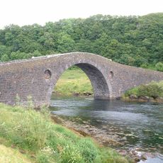
Clachan Bridge
5.9 km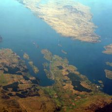
Firth of Lorn
11.8 km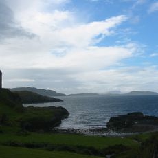
Gylen Castle
12.9 km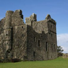
Carnasserie Castle
14.8 km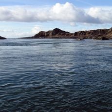
Garvellachs
11.7 km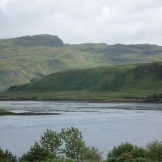
Torsa
1.3 km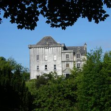
Craignish Castle
12.4 km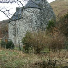
Kilmartin Castle
16.2 km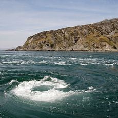
Scarba, Lunga and the Garvellachs National Scenic Area
8.1 km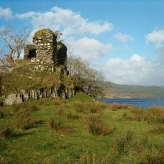
Fincharn Castle
16 km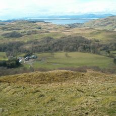
Dunan Aula
9.5 km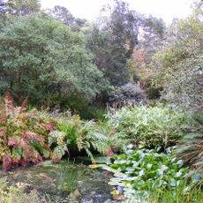
Arduaine Garden
4.4 km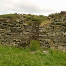
Eileach-an-Naoimh, monastery, Garvellachs
13.7 km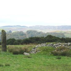
Kintraw
10.9 km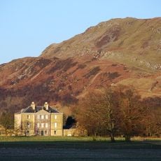
Barbreck House
9.7 km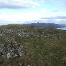
Leccamore,dun 500m SW of
3.7 km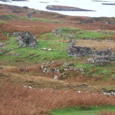
Ormaig,cupmarked rocks 320m S of
12.4 km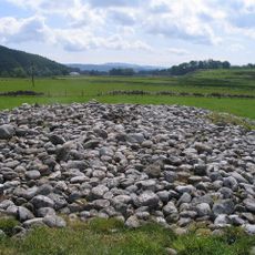
Glebe Cairn,Kilmartin
16.3 km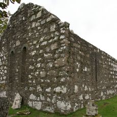
Kirkton Chapel
12.5 km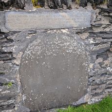
Old Kilchattan Kirk Graveyard. Luing
5.5 km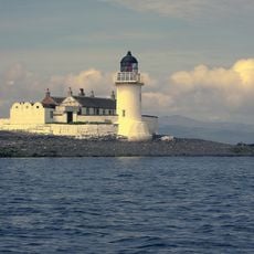
Fladda Lighthouse
5.2 km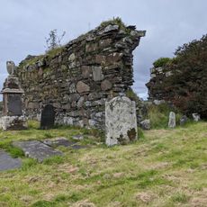
Luing,Old Parish Church of Kilchattan 800m NW of Toberonochy
5.5 km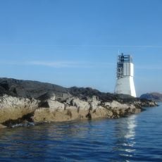
Sgeirean Dubha Lighthouse
13.3 km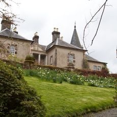
Ardmaddy Castle
2.9 km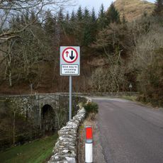
Kintraw Bridge
10.7 km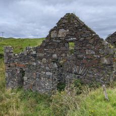
Achafolla Mill, Luing
4.8 km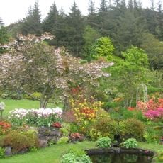
An Cala
4.1 km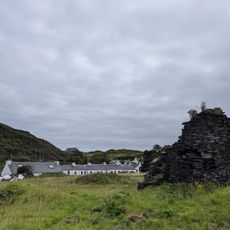
Luing, Cullipool, Cottages
3.1 kmVisited this place? Tap the stars to rate it and share your experience / photos with the community! Try now! You can cancel it anytime.
Discover hidden gems everywhere you go!
From secret cafés to breathtaking viewpoints, skip the crowded tourist spots and find places that match your style. Our app makes it easy with voice search, smart filtering, route optimization, and insider tips from travelers worldwide. Download now for the complete mobile experience.

A unique approach to discovering new places❞
— Le Figaro
All the places worth exploring❞
— France Info
A tailor-made excursion in just a few clicks❞
— 20 Minutes
