Enable Location

We need your location to show you interesting places around you

Discover nearby places

Find interesting locations and hidden gems around you

Precise directions

Get accurate directions and distances to places

Your location is never shared with other users. It's only used when you tap the location button.

Scarba, Lunga and the Garvellachs National Scenic Area

Log in to your account

Start exploring — it's free

Trusted by 61,454 travelers worldwide

Continue with Google
Continue with Apple
or

We will send you a code to connect

By continuing, you accept our Terms and Conditions and our Privacy Policy

Check your inbox

We've sent a pincode in your inbox. Please enter the code below.

Scarba, Lunga and the Garvellachs National Scenic Area

Scarba, Lunga and the Garvellachs National Scenic Area, National scenic area in Argyll and Bute, Scotland

Description

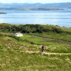
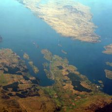
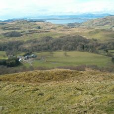
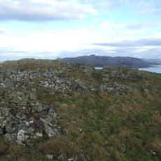
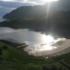
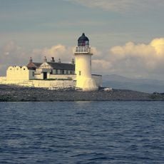
This area encompasses three main islands - Scarba, Lunga, and the Garvellachs - along with surrounding marine environment in the Firth of Lorn. The islands support diverse marine wildlife and display distinctive geological rock formations shaped by ancient forces.

History

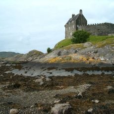
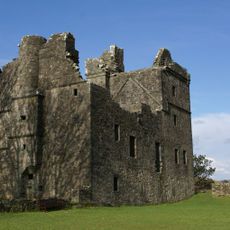
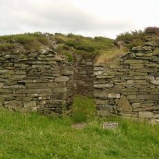
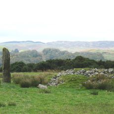
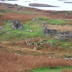
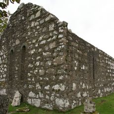
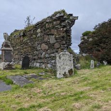
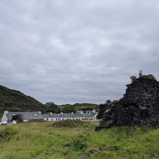
The area was officially protected as a national scenic area in 1981 following a 1978 review that identified regions needing conservation across Scotland. Monastic settlement on Eileach an Naoimh around 542 AD demonstrates the islands' long history as important religious centers.

Culture

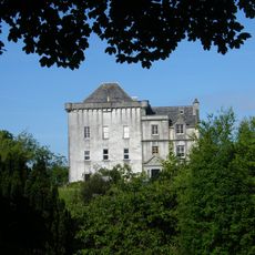
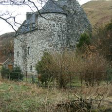
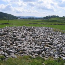
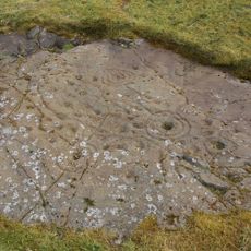
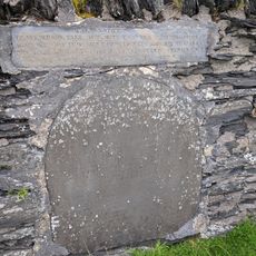
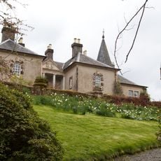
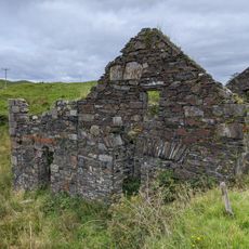
The monastic buildings on Eileach an Naoimh show early Scottish religious architecture with surviving chapels and burial grounds that visitors can explore today. The site reflects how monks chose isolated islands for their spiritual communities centuries ago.

Practical

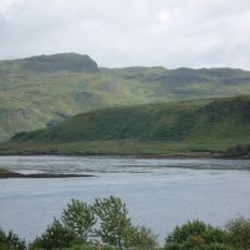
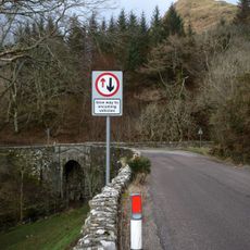
Ferry services connect the mainland to the islands, providing access for visitors wanting to explore marine life and geological features. Visit during settled weather and check tidal conditions beforehand, as these factors affect both accessibility and safety during your trip.

Did you know?

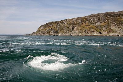
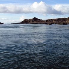
The Gulf of Corryvreckan between Scarba and Jura ranks among the world's most powerful tidal whirlpools, created by strong currents flowing over complex underwater ridges and valleys. The turbulent water movement becomes visible from certain vantage points during specific tidal phases.

Location
GPS coordinates
56.21667,-5.70000
Latest update
December 14, 2025 13:06

AroundUs brings together thousands of curated places, local tips, and hidden gems, enriched daily by 60,000 contributors worldwide. Discover all places nearby (Argyll and Bute).

« Scarba, Lunga and the Garvellachs National Scenic Area - National scenic area in Argyll and Bute, Scotland » is provided by Around Us (aroundus.com). Images and texts are derived from Wikimedia project under a Creative Commons license. You are allowed to copy, distribute, and modify copies of this page, under the conditions set by the license, as long as this note is clearly visible.

Discover hidden gems everywhere you go!

From secret cafés to breathtaking viewpoints, skip the crowded tourist spots and find places that match your style. Our app makes it easy with voice search, smart filtering, route optimization, and insider tips from travelers worldwide. Download now for the complete mobile experience.

Around Us App Screenshot

A unique approach to discovering new places

Le Figaro

All the places worth exploring

France Info

A tailor-made excursion in just a few clicks

20 Minutes

Around Us
Travel Guide & Maps
Download

Send to your phone

QR Code
1

Open the camera app on your mobile.

2

Point at the QR code with your camera. A notification will appear.

3

Tap the notification to open the link.