Christ Church, Crewkerne, Anglican church in Crewkerne, England
Christ Church was an Anglican church building located on South Street, constructed with pale Ham Hill stone and featuring Victorian-era architectural details. The structure provided worship space for the expanding population and followed typical 19th-century Protestant church design inside.
The church was designed by James Mountford Allen and built between 1852 and 1854 to provide additional worship space alongside the medieval St. Bartholomew's Church. After its congregation declined in the mid-20th century, it closed in 1969 and was demolished in 1975 to make way for a residential development.
The church served as a gathering place for Anglicans who had settled in the newer parts of town during the 1800s, offering worship separate from the medieval parish church on higher ground. It represented the spiritual needs of a changing community expanding beyond the old town center.
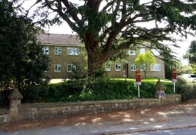
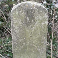
The site no longer exists, but its former location on South Street in Crewkerne remains an interesting spot for those exploring church history in the town. Today a residential area called Christchurch Court occupies the location where the building once stood.
The residential area Christchurch Court still bears the church's name, showing how demolished buildings continue to shape the identity of modern streets and neighborhoods in British towns. The name serves as a quiet reminder of what once stood at this location.
The community of curious travelers
AroundUs brings together thousands of curated places, local tips, and hidden gems, enriched daily by 60,000 contributors worldwide.