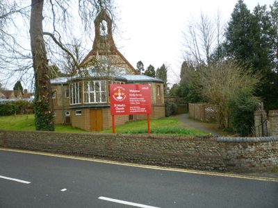
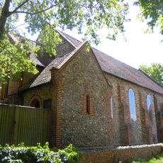
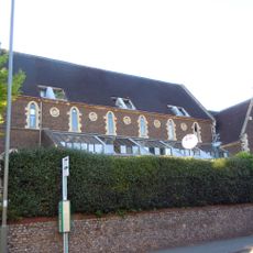
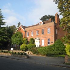
St Mark the Evangelist Church, Upper Hale, Farnham, Grade II listed church in Upper Hale, Farnham, England
St Mark the Evangelist is a red brick church in Upper Hale with a single nave and a small chancel. Between 1911 and 1920, local artist Kitty Milroy painted murals across its interior walls.
The church was consecrated in 1883 by Bishop Harold Browne of Winchester and named for Saint Mark. Local people gathered flint from the surrounding common land to build its walls.
The walls display religious murals that weave in local views and scenes, while three stained glass windows honor Saints Mary, Agnes, and Mark. These artistic touches make the space feel connected to its community.
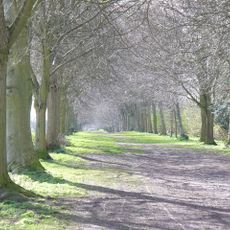
The church sits on Alma Lane and is accessed through a gate from the street. Weekly services take place throughout the year, with informal worship and midday communion options available to visitors.
Three bells named Tom, Dick, and Harry rang out as a call to prayer for soldiers during World War I. These bells stand as a quiet reminder of how the community supported its young men during wartime.
The community of curious travelers
AroundUs brings together thousands of curated places, local tips, and hidden gems, enriched daily by 60,000 contributors worldwide.