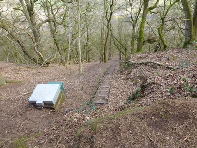
Bulkeley Hill Narrow Gauge Railway, Industrial funicular railway in Cheshire, England.
Bulkeley Hill Narrow Gauge Railway is a defunct funicular railway in Cheshire with a 2-foot gauge track that extends roughly 320 yards. The route features multiple safety mechanisms that were installed along its length.
Staffordshire Potteries Water Board built this railway in 1937 to support water pumping infrastructure. The project was part of regional development efforts to manage water supply.
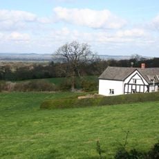
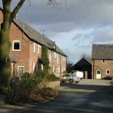
The site forms part of a walking trail that guides visitors through the industrial past of the region. You can still see old tracks and structures that remind you of the work that once took place here.
The trail that passes through the site is well-maintained and offers clear views of the old structures along the way. It is helpful to wear comfortable hiking shoes, as the route climbs steeply in sections.
At its steepest point, the track reaches a gradient of nearly 1:1, making it one of the most vertically inclined railways in the region. This extreme slope was necessary to handle the elevation difference in this area.
Location: Cheshire
GPS coordinates: 53.09280,-2.70670
Latest update: December 13, 2025 17:02
Peckforton Castle
2.8 km
Bolesworth Castle
3.3 km
Bulkeley Hall
1.6 km
All Saints Church, Harthill
2.7 km
Brown Knowl Methodist Church
3.7 km
St John's Church, Burwardsley
1.7 km
Holy Trinity Church, Bickerton
2.5 km
Bulkeley Methodist Church
892 m
Scotch Farm
3.7 km
The Pheasant Inn
1.3 km
Barbour Mausoleum in All Saints Churchyard
2.7 km
Entrance lodge south east of Peckforton Castle
2.5 km
Chapel in the ward of Peckforton Castle
2.8 km
Sandstone chimney to former Copper Mine
1.5 km
Yew Tree Farmhouse
3.7 km
Bickerton War Memorial
2.4 km
School and schoolmaster's house
2.6 km
Boundary Stone
3.3 km
Outbuilding West Of Stone Cottage
3.2 km
Haycroft
3.3 km
Fountain in front of the School
2.6 km
Lowerhill Farmhouse
2 km
Farm Building South East Of Peckforton Hall
2.2 km
Gate piers north of Spurstow Lower Hall
3.8 km
Moathouse
3.2 km
Milepost, NW of Mount Pleasant Farm
2.7 km
Milepost, near Sherrington Lane
3.2 km
Milepost, N of Croxton Green
3.5 kmVisited this place? Tap the stars to rate it and share your experience / photos with the community! Try now! You can cancel it anytime.
Discover hidden gems everywhere you go!
From secret cafés to breathtaking viewpoints, skip the crowded tourist spots and find places that match your style. Our app makes it easy with voice search, smart filtering, route optimization, and insider tips from travelers worldwide. Download now for the complete mobile experience.
A unique approach to discovering new places❞
— Le Figaro
All the places worth exploring❞
— France Info
A tailor-made excursion in just a few clicks❞
— 20 Minutes