
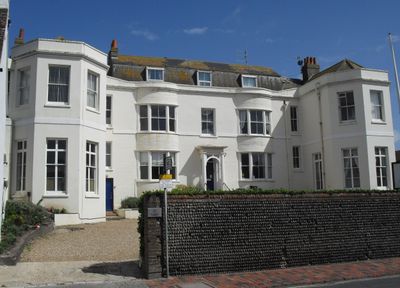
76 High Street, school building in Rottingdean, East Sussex, United Kingdom
Location: Rottingdean
Inception: 19 century
GPS coordinates: 50.80420,-0.05738
Latest update: March 6, 2025 04:46
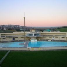
Saltdean Lido
1.1 km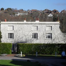
Ovingdean Grange
1.9 km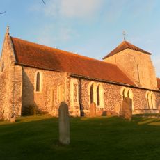
St Margaret's Church
289 m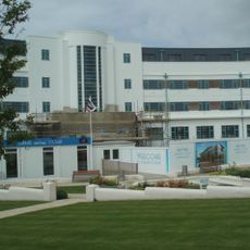
Grand Ocean, Saltdean
1.5 km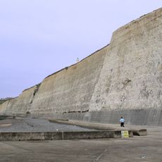
Brighton to Newhaven Cliffs
2.3 km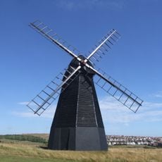
Beacon Mill
438 m
East Brighton Park
3.4 km
Marine Gate
3.5 km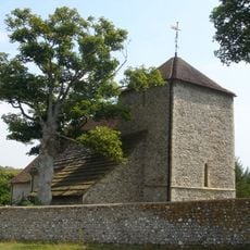
St Wulfran's Church, Ovingdean
1.9 km
Ovingdean Rectory
1.9 km
Hillside
350 m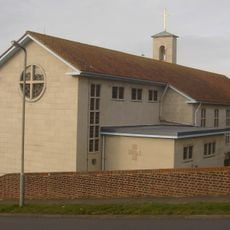
St Nicholas
1.3 km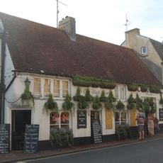
The Black Horse Public House
77 m
Saltdean Library
1.1 km
Walls And Lych Gate To Churchyard Of The Church Of St Margaret
256 m
Highdole Hill, Romano-British settlement
3.5 km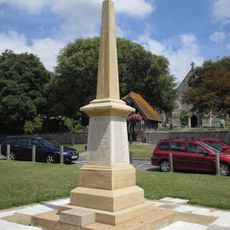
Rottingdean War Memorial
266 m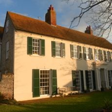
The Grange, Rottingdean
189 m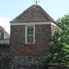
Gazebo In Garden Wall Of Hillside
384 m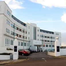
Walls And Gate Piers To The Ocean Hotel
1.6 km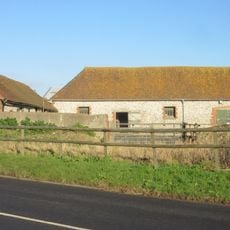
New Barn
1.2 km
Ian Fraser House, St Dunstans
880 m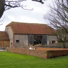
Saltdean Barn And Attached Walls
1.2 km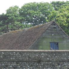
Barn To The South West Of Hillside
353 m
Roedean School Main Buildings
2.1 km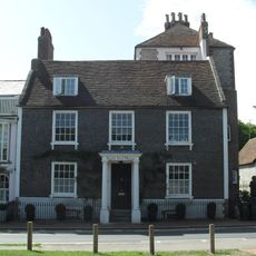
North End House
300 m
Long barrow on Beacon Hill, 160m north west of the windmill
579 m
Court House
401 mVisited this place? Tap the stars to rate it and share your experience / photos with the community! Try now! You can cancel it anytime.
Discover hidden gems everywhere you go!
From secret cafés to breathtaking viewpoints, skip the crowded tourist spots and find places that match your style. Our app makes it easy with voice search, smart filtering, route optimization, and insider tips from travelers worldwide. Download now for the complete mobile experience.

A unique approach to discovering new places❞
— Le Figaro
All the places worth exploring❞
— France Info
A tailor-made excursion in just a few clicks❞
— 20 Minutes