
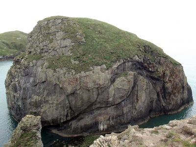
Ynys Gwelltog, hill (56m) in Pembrokeshire
Location: Pembrokeshire
Elevation above the sea: 56 m
GPS coordinates: 51.85282,-5.33679
Latest update: April 30, 2025 10:06
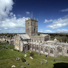
St Davids Cathedral
5.7 km
The Bitches
1.4 km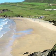
Whitesands Bay
5.4 km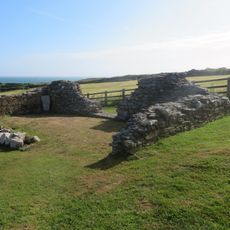
Chapel of St Non
5.1 km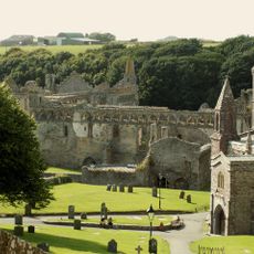
St Davids Bishops Palace
5.6 km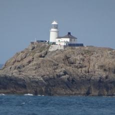
South Bishop Lighthouse
5.2 km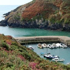
Porthclais
4.2 km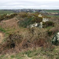
Clegyr Boia
4.4 km
Porth-y-Tŵr
5.7 km
Ynys Gwelltog
3 m
Ruins of St. Justinian's Chapel, Porthstinian
3.5 km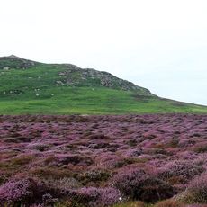
Carnllundain
1.3 km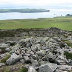
Carnysgubor
2.2 km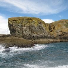
Midland
266 m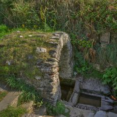
St Non's Well
5.2 km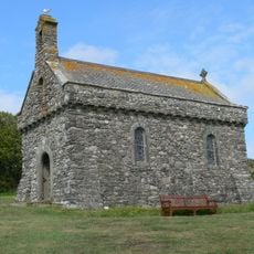
Chapel of Our Lady & St. Non
5.3 km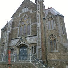
Tabernacl Chapel
5.7 km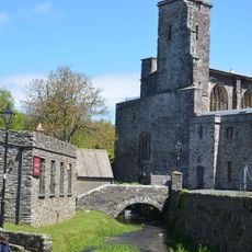
St. David's Cathedral Hall (formerly Chapel Of St.mary's College) & Attached Cloister Ruins,the Cathe
5.7 km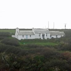
Penporthclais
4.2 km
St Davids Library
5.7 km
Brecon House
5.7 km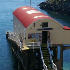
Lifeboat House, St. Justinian's
3.4 km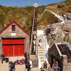
Old Lifeboat House, Porthstinian/St. Justinian's
3.5 km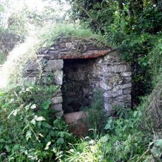
Well-Head opposite Rhosson Farm
3.9 km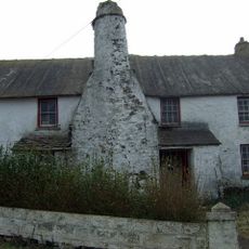
Rhosson Uchaf/Rhosson Farmhouse
3.9 km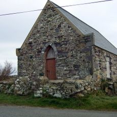
Bethel Chapel
4 km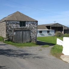
Outbuilding Range On S.Side of Farmyard at Rhosson Ganol,Rhosson
3.8 km
The Close Wall (formerly Listed With Porth Y Twr) The Cathedral Close
5.6 kmReviews
Visited this place? Tap the stars to rate it and share your experience / photos with the community! Try now! You can cancel it anytime.
Discover hidden gems everywhere you go!
From secret cafés to breathtaking viewpoints, skip the crowded tourist spots and find places that match your style. Our app makes it easy with voice search, smart filtering, route optimization, and insider tips from travelers worldwide. Download now for the complete mobile experience.

A unique approach to discovering new places❞
— Le Figaro
All the places worth exploring❞
— France Info
A tailor-made excursion in just a few clicks❞
— 20 Minutes