
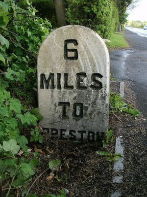
Milestone, Mellor Brook, milestone in Samlesbury, South Ribble, UK
Location: South Ribble
Inception: 19 century
GPS coordinates: 53.77040,-2.55665
Latest update: March 6, 2025 16:44
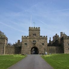
Hoghton Tower
4.3 km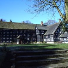
Samlesbury Hall
1.1 km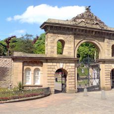
Corporation Park
4.3 km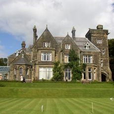
Alston Hall
4.2 km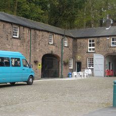
Witton Country Park
3.9 km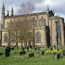
Pleasington Priory
4 km
St Silas' Church
3.9 km
St Mark's Church, Blackburn
4.3 km
St Leonard's Church, Balderstone
1.7 km
St Mary's Church, Mellor
1.7 km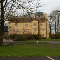
Stanley House
1.3 km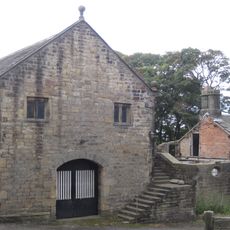
Hoghton Tower Great Barn
4.3 km
Pleasington Lodge And Gateway To Woodfold Park
2.6 km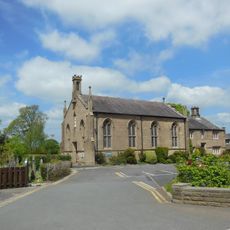
Church of St Mary With Presbytery
1.9 km
Roman Catholic Church of Saint John Southworth and Attached Presbytery
4.1 km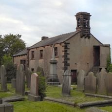
Hoghton Methodist Chapel
3.9 km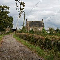
Bolton Hall Farmhouse
3.1 km
The Samuel Whitbread
4.3 km
Oxendale Hall
3.3 km
Osbaldeston Hall
4 km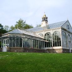
Conservatory At West End Of Park
4.2 km
Hoghton Tower Viaduct
4.3 km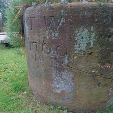
Old Font Outside East Wall Of Church Of St Leonard The Less
4.4 km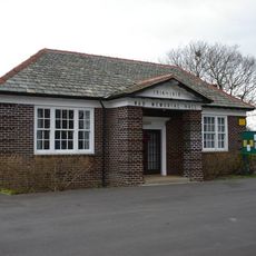
Samlesbury Memorial Hall
3.3 km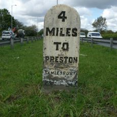
Milestone, W of A677/B6230 jcn
3.3 km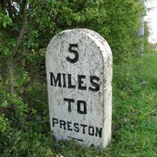
Milestone, W of Samlesbury Hall
1.6 km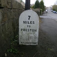
Milestone, NE Mellor Brook
1 km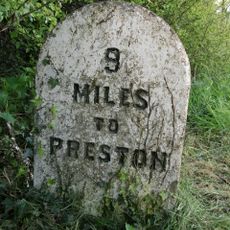
Milestone, Longsight Road at SD6669833285
4.2 kmVisited this place? Tap the stars to rate it and share your experience / photos with the community! Try now! You can cancel it anytime.
Discover hidden gems everywhere you go!
From secret cafés to breathtaking viewpoints, skip the crowded tourist spots and find places that match your style. Our app makes it easy with voice search, smart filtering, route optimization, and insider tips from travelers worldwide. Download now for the complete mobile experience.

A unique approach to discovering new places❞
— Le Figaro
All the places worth exploring❞
— France Info
A tailor-made excursion in just a few clicks❞
— 20 Minutes