
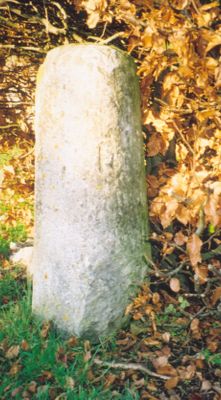
Milestone, Church Road; end of drive to Church Road House, milestone in Bletchingdon, Cherwell, UK
Location: Cherwell
Inception: 18 century
GPS coordinates: 51.85820,-1.26450
Latest update: March 4, 2025 20:55
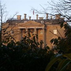
Bletchingdon Park
218 m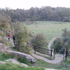
Kirtlington Quarry
2.3 km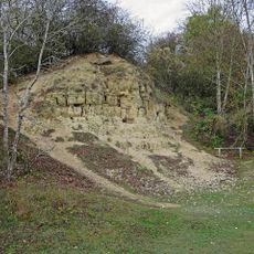
White Limestone Formation
2.3 km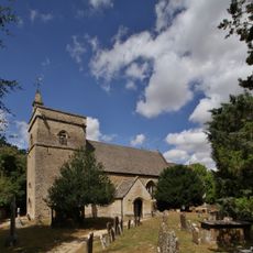
Church of St Giles, Bletchingdon
118 m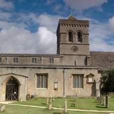
Church of St Mary, Kirtlington
1.7 km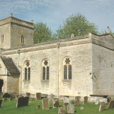
Church of St Mary
2.4 km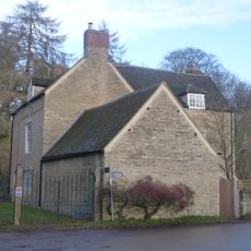
Park Gate House
305 m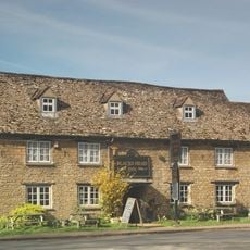
The Blacks Head Public House
651 m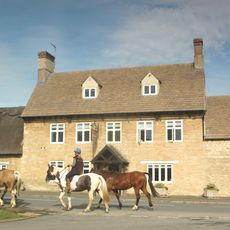
The Dashwood Arms Public House
1.9 km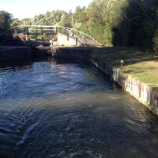
Bridge At Shipton Weir Lock, Oxford Canal
2.2 km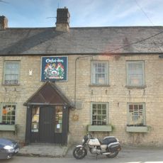
The Oxford Arms Public House And Adjoining Cottage
1.8 km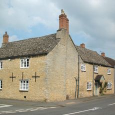
Old Red Lion
625 m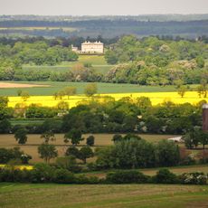
Kirtlington Park
1.9 km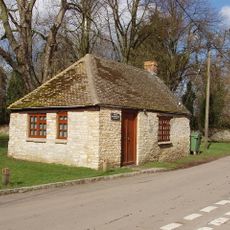
Squirrel's Drey
588 m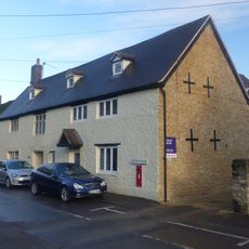
The Post Office Stores
601 m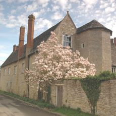
The Manor House And Attached Outbuilding Range
1.8 km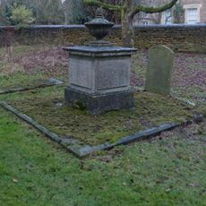
Chest tomb approximately 6 metres east of chancel of Church of St Giles
108 m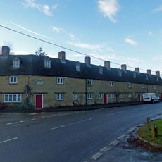
The Row
650 m
Manor Farmhouse
2.4 km
Poyle Court
2.5 km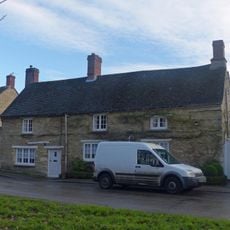
Monk's Head
471 m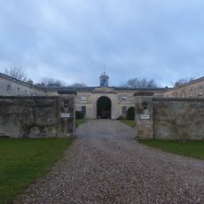
Bletchingdon Park, stables and attached walls approximately 150 metres east north east of Bletchingdon Park
122 m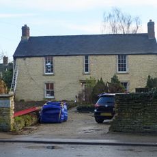
The Malt House
501 m
Model Farmhouse
2.4 km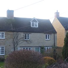
Glendale
681 m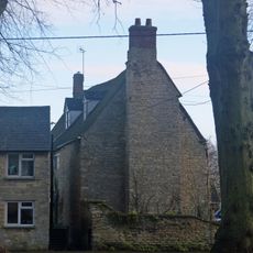
Village Farmhouse
558 m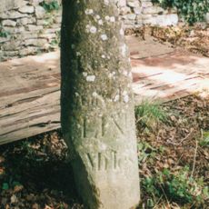
Milestone, by Church, on lane by Bletchingdon Park, in front of wall around church
92 m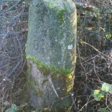
Milestone, Islip Road; between Diamond Farm and Bletchingdon
713 mVisited this place? Tap the stars to rate it and share your experience / photos with the community! Try now! You can cancel it anytime.
Discover hidden gems everywhere you go!
From secret cafés to breathtaking viewpoints, skip the crowded tourist spots and find places that match your style. Our app makes it easy with voice search, smart filtering, route optimization, and insider tips from travelers worldwide. Download now for the complete mobile experience.

A unique approach to discovering new places❞
— Le Figaro
All the places worth exploring❞
— France Info
A tailor-made excursion in just a few clicks❞
— 20 Minutes