
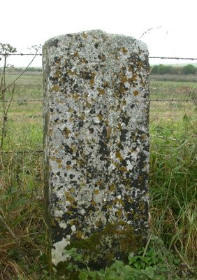
Milestone, Earl's Farm Down; 70m N of barrows, milestone in Amesbury, Salisbury, UK
Location: Salisbury District
Inception: 19 century
GPS coordinates: 51.17705,-1.74666
Latest update: March 10, 2025 16:06
Durrington Walls
3.3 km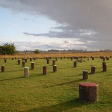
Woodhenge
3.1 km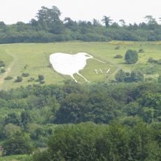
Bulford Kiwi
2.9 km
Vespasian's Camp
3.1 km
Amesbury Abbey
2.7 km
Cuckoo Stone
3.4 km
Amesbury Abbey
2.7 km
Church of St Mary and St Melor, Amesbury
2.7 km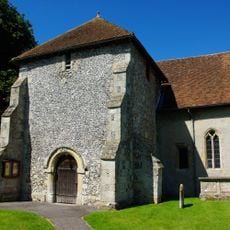
Church of St Leonard
2.1 km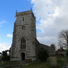
Church of All Saints
3.5 km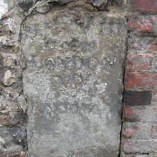
Milestone In Churchyard Wall
2.7 km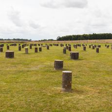
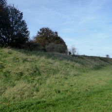
Henge monuments at Durrington Walls and Woodhenge, a round barrow cemetery, two additional round barrows and four settlements
3.2 km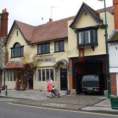
The Bell Inn
2.5 km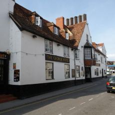
George Hotel
2.5 km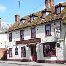
The Kings Arms
2.5 km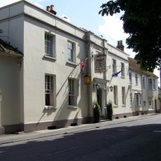
Antrobus Arms
2.6 km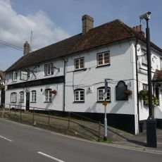
The Greyhound Tavern
2.2 km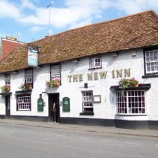
The New Inn
2.5 km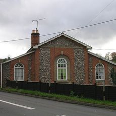
Toll House
2.3 km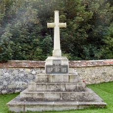
Amesbury War Memorial
2.7 km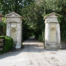
Gate piers and gates to Amesbury Abbey
2.7 km
Kent House
2.4 km
The Red House
2.3 km
Diana's House
2.5 km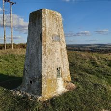
Triangulation Pillar
1.8 km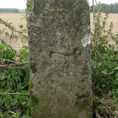
Milestone, N of Bulford Camp; 100m S of MOD red gate
3 km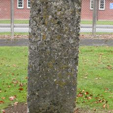
Milestone, Boscombe Down Camp
1.6 km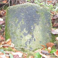
Milestone, Boscombe Down
3.2 kmReviews
Visited this place? Tap the stars to rate it and share your experience / photos with the community! Try now! You can cancel it anytime.
Discover hidden gems everywhere you go!
From secret cafés to breathtaking viewpoints, skip the crowded tourist spots and find places that match your style. Our app makes it easy with voice search, smart filtering, route optimization, and insider tips from travelers worldwide. Download now for the complete mobile experience.

A unique approach to discovering new places❞
— Le Figaro
All the places worth exploring❞
— France Info
A tailor-made excursion in just a few clicks❞
— 20 Minutes