Enable Location

We need your location to show you interesting places around you

Discover nearby places

Find interesting locations and hidden gems around you

Precise directions

Get accurate directions and distances to places

Your location is never shared with other users. It's only used when you tap the location button.

Durrington Walls

Log in to your account

Start exploring — it's free

Trusted by 61,771 travelers worldwide

Continue with Google
Continue with Apple
or

We will send you a code to connect

By continuing, you accept our Terms and Conditions and our Privacy Policy

Check your inbox

We've sent a pincode in your inbox. Please enter the code below.

Durrington Walls

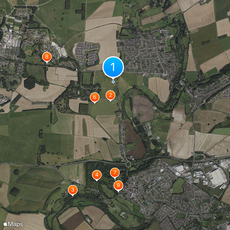
Durrington Walls, Neolithic monument site in Wiltshire, England.

Description

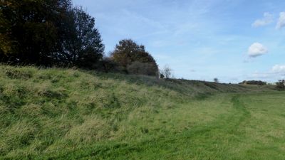
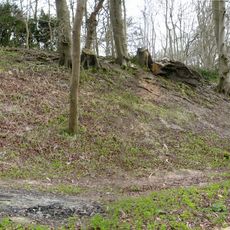
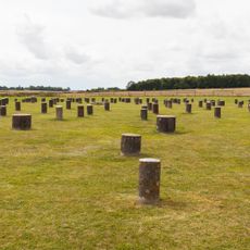
Durrington Walls is a large circular earthwork from the Neolithic period in Wiltshire that appears as a shallow bowl with raised edges across the grassland. The interior space reaches about 500 meters from one side to the other, while two clear breaks interrupt the bank at the northwest and southeast points.

History

The site was built between 2800 and 2100 before the present era as a settlement and meeting place during the late Neolithic period. Excavations from 2004 to 2006 uncovered seven houses and traces of many hearths that suggest continuous use over several centuries.

Culture

The name comes from the earthwork ring that surrounds the wide open interior where groups gathered during special seasons. People entered through the two gaps in the bank to mark the turning of the year and share food and ritual together.

Practical

The outlines of the bank and ditch are clearly visible across the grassland, and both entrances can be easily identified when walking the circuit. The site lies next to the small village of Durrington and is accessible on foot through public paths.

Did you know?

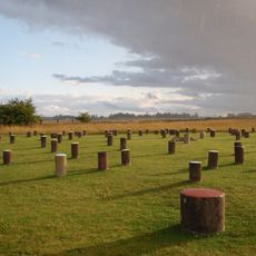
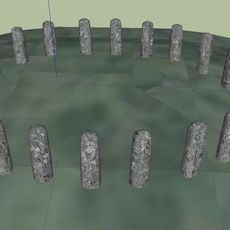
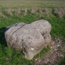
In 2015 researchers using geophysical techniques found traces of about 90 stones buried beneath the surface that once stood in a line. This hidden row of stones likely ran along part of the bank and changes our understanding of how the Neolithic enclosure was designed.

Location
Part of
Stonehenge, Avebury and Associated Sites
GPS coordinates
51.19334,-1.78594
Latest update
December 17, 2025 09:55

AroundUs brings together thousands of curated places, local tips, and hidden gems, enriched daily by 60,000 contributors worldwide. Discover all places nearby (Wiltshire).

« Durrington Walls - Neolithic monument site in Wiltshire, England » is provided by Around Us (aroundus.com). Images and texts are derived from Wikimedia project under a Creative Commons license. You are allowed to copy, distribute, and modify copies of this page, under the conditions set by the license, as long as this note is clearly visible.

Discover hidden gems everywhere you go!

From secret cafés to breathtaking viewpoints, skip the crowded tourist spots and find places that match your style. Our app makes it easy with voice search, smart filtering, route optimization, and insider tips from travelers worldwide. Download now for the complete mobile experience.

Around Us App Screenshot

A unique approach to discovering new places

Le Figaro

All the places worth exploring

France Info

A tailor-made excursion in just a few clicks

20 Minutes

Around Us
Travel Guide & Maps
Download

Send to your phone

QR Code
1

Open the camera app on your mobile.

2

Point at the QR code with your camera. A notification will appear.

3

Tap the notification to open the link.