Vespasian's Camp, Iron Age hillfort in Amesbury, England
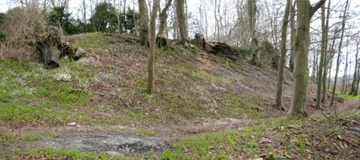
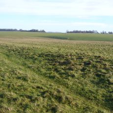
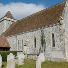
Vespasian's Camp is an Iron Age hillfort near Amesbury, England, formed by earthen banks and ditches that enclose a raised area of land between the River Avon and the A303 road. The banks remain clearly visible across the site and give the enclosure a strong physical presence in the landscape.
The fort was built during the Iron Age, long before any Roman presence in Britain, and stands within a landscape already shaped by Neolithic activity. The name was given centuries later by the scholar William Camden, who linked it to the Roman emperor Vespasian without any supporting evidence.
The name of this fort was given by a 16th-century historian, not by the people who built it. Visitors walking along the top of the banks get a clear view over the Avon valley and can sense how the position was chosen to watch over the surrounding land.
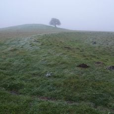
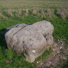
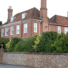
The site sits at the edge of Amesbury and can be reached on foot, though sturdy footwear is a good idea given the uneven ground and the banks. It lies very close to the Stonehenge World Heritage Site, making it easy to visit both in the same trip.
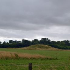
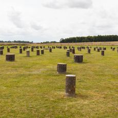
Just beside the fort, a spring at a place called Blick Mead was used by people thousands of years before the Iron Age, with signs of large gatherings and tool making found there. This suggests the area was a meeting point for communities across a very long stretch of time, long before the banks and ditches were ever dug.
The community of curious travelers
AroundUs brings together thousands of curated places, local tips, and hidden gems, enriched daily by 60,000 contributors worldwide.