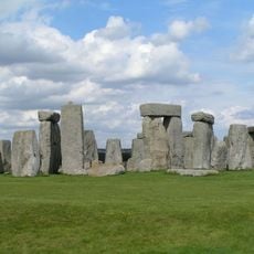
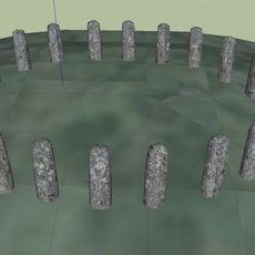
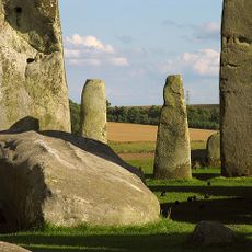
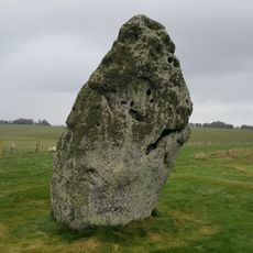
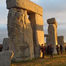
Stonehenge Avenue, Ancient ceremonial path in Salisbury Plain, England
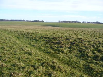
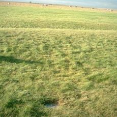
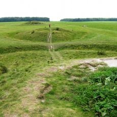
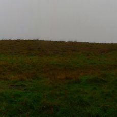
Stonehenge Avenue is a prehistoric earthwork that extends roughly three kilometers across Salisbury Plain, linking the stone circle to the River Avon through parallel banks. Two raised ridges run alongside the path, marking the route and showing the scale of ancient engineering across the landscape.
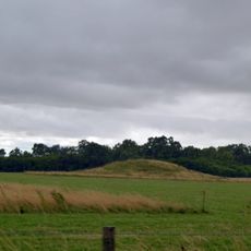
The avenue was built roughly 4600 years ago as part of a major building campaign linked to Stonehenge itself. It reveals how communities worked on monumental projects over extended periods, reshaping the land to suit their ceremonial needs.
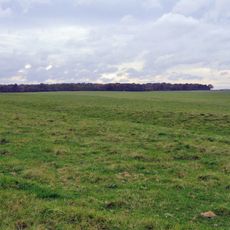
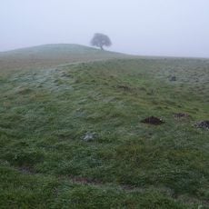
The avenue served as a processional route where people gathered for important seasonal gatherings and rituals connected to Stonehenge. Walking along the earthwork banks today gives a sense of the ordered, deliberate way these ceremonies were conducted.
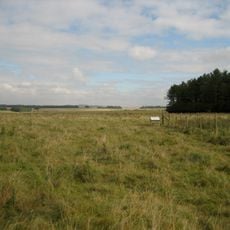
The best way to explore the avenue is on foot, walking alongside the earthwork banks to understand its scale and shape. The terrain is flat and open, but check the weather as the plain offers little shelter from wind and rain.
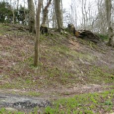
The earthwork follows natural features in the landscape created during the last ice age. The ancient builders adapted their construction to these pre-existing features rather than reshaping the ground entirely from scratch.
Part of: Stonehenge, Avebury and Associated Sites
Website: http://nationaltrust.org.uk/stonehenge-landscape/things-to-see-and-do
GPS coordinates: 51.17889,-1.82528
Latest update: December 9, 2025 18:44
Stonehenge
58 m
Stonehenge, Avebury and Associated Sites
1 m
Stonehenge Cursus
793 m
Bluestonehenge
2.1 km
Heelstone
58 m
Aubrey holes
35 m
Bush Barrow
767 m
Stonehenge Landscape
190 m
Vespasian's Camp
2.4 km
Cuckoo Stone
2.6 km
New henge at Stonehenge
923 m
Normanton Down Barrows
767 m
Altar Stone
67 m
Amesbury Abbey
2.8 km
Church of St Alban the Martyr
2.4 km
Church of St Michael, Wilsford
2.7 km
The Hewetson Memorial Cross at Fargo Plantation, and Field Plaque at SU13784399
1.1 km
West Amesbury House
2 km
Milestone Approximately 100 Metres South Of Longbarrow Roundabout At Junction With A303
2.5 km
Buildings 455 and 456 (Five Aircraft Hangars), Durrington Camp
2.4 km
Milestone Opposite Stonehenge
62 m
Milestone Approximately 850 Metres East Of Longbarrow Roundabout
1.7 km
Milestone
240 m
Milestone Near Junction With A303(T)
1.6 km
Stonehenge and Associated Monuments
12 m
Long barrow north east of Winterbourne Stoke crossroads
2.4 km
Milestone, Winterbourne Stoke Down; 60m W of edge Fargo Plantation
1.7 km
Milestone, Airman's Corner; 25m S junction
2.6 kmVisited this place? Tap the stars to rate it and share your experience / photos with the community! Try now! You can cancel it anytime.
Discover hidden gems everywhere you go!
From secret cafés to breathtaking viewpoints, skip the crowded tourist spots and find places that match your style. Our app makes it easy with voice search, smart filtering, route optimization, and insider tips from travelers worldwide. Download now for the complete mobile experience.
A unique approach to discovering new places❞
— Le Figaro
All the places worth exploring❞
— France Info
A tailor-made excursion in just a few clicks❞
— 20 Minutes