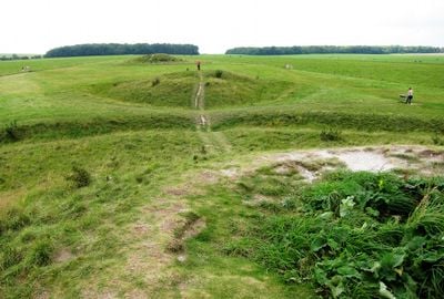
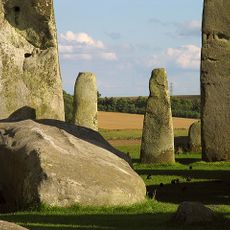
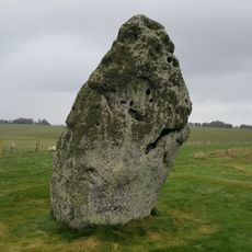
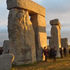
New henge at Stonehenge, Archaeological site near Stonehenge, Wiltshire, England.
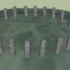
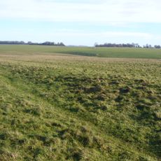
The New Henge at Stonehenge is a buried circular structure consisting of a central area surrounded by an internal ditch and an outer bank. The monument lies just a short distance from the famous stone circle and is completely hidden beneath the ground.
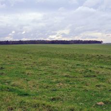
The structure was discovered in 2010 using ground-penetrating radar technology and dates to the late Neolithic period around 2500 BCE. Its discovery revealed that people at that time used sophisticated surveying techniques to plan and construct monumental works.
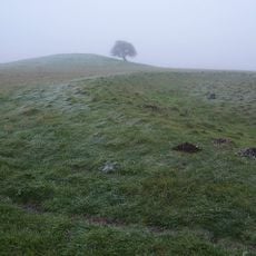
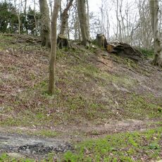
This buried structure formed part of a ritual landscape where communities gathered repeatedly to conduct their spiritual practices. It shows how people used the land around Stonehenge to express their relationship with the seasons and sky.
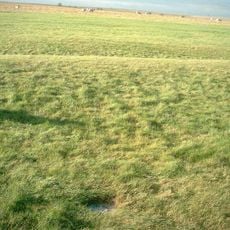
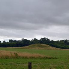
The site is completely buried underground and not directly accessible to the public, but visitors to the Stonehenge area can learn about it at the visitor center. Understanding this structure beforehand helps you appreciate the broader archaeological landscape when exploring the region.
Beneath the ground lies a complete ring of wooden posts that shows the builders had advanced methods for constructing timber structures. This discovery was made possible by modern radar equipment that could reveal ancient structures without excavation.
GPS coordinates: 51.18280,-1.83694
Latest update: December 11, 2025 18:11
Stonehenge
872 m
Stonehenge, Avebury and Associated Sites
922 m
Stonehenge Cursus
842 m
Bluestonehenge
3 km
Heelstone
872 m
Aubrey holes
891 m
Bush Barrow
1.5 km
Stonehenge Landscape
754 m
Vespasian's Camp
3.3 km
Stonehenge Avenue
923 m
Cuckoo Stone
3.2 km
Normanton Down Barrows
1.5 km
Altar Stone
870 m
Church of St Alban the Martyr
2.7 km
The Hewetson Memorial Cross at Fargo Plantation, and Field Plaque at SU13784399
160 m
West Amesbury House
3 km
Milestone Approximately 100 Metres South Of Longbarrow Roundabout At Junction With A303
2.1 km
Buildings 455 and 456 (Five Aircraft Hangars), Durrington Camp
3 km
Milestone Opposite Stonehenge
886 m
Milestone Approximately 850 Metres East Of Longbarrow Roundabout
1.3 km
Milestone
1 km
Milestone Approximately 120 Metres South Of Junction With Bustard Road
2.6 km
Milestone
3.4 km
Milestone Near Junction With A303(T)
2.5 km
Stonehenge and Associated Monuments
915 m
Long barrow north east of Winterbourne Stoke crossroads
1.9 km
Milestone, Winterbourne Stoke Down; 60m W of edge Fargo Plantation
753 m
Milestone, Airman's Corner; 25m S junction
1.7 kmVisited this place? Tap the stars to rate it and share your experience / photos with the community! Try now! You can cancel it anytime.
Discover hidden gems everywhere you go!
From secret cafés to breathtaking viewpoints, skip the crowded tourist spots and find places that match your style. Our app makes it easy with voice search, smart filtering, route optimization, and insider tips from travelers worldwide. Download now for the complete mobile experience.
A unique approach to discovering new places❞
— Le Figaro
All the places worth exploring❞
— France Info
A tailor-made excursion in just a few clicks❞
— 20 Minutes