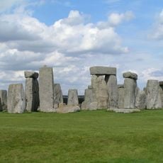
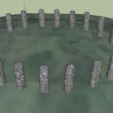
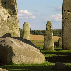
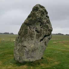
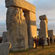
Stonehenge Landscape, National Trust estate on Salisbury Plain, England.
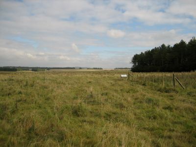
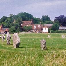
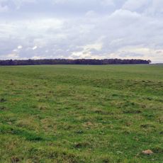
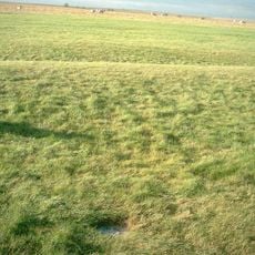
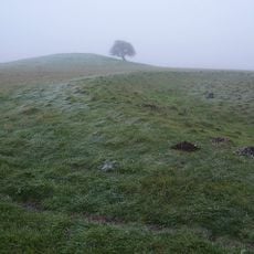
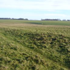
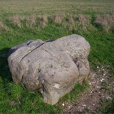
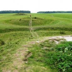
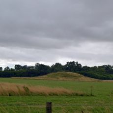
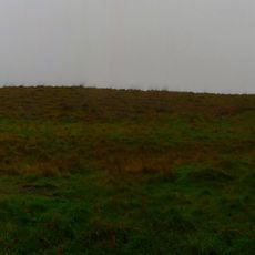
Stonehenge Landscape is a National Trust estate on Salisbury Plain in Wiltshire, encompassing 2,100 acres of chalk grassland dotted with ancient burial mounds and earthworks. The grounds contain prehistoric pathways and multiple archaeological sites distributed across the rural terrain, creating a layered landscape of different time periods.
The National Trust acquired the property in 1927 following a public campaign to prevent development near the stone circle. This acquisition led to the removal of modern structures that had encroached on the landscape.
The site holds deep spiritual meaning for visitors who come to witness the summer solstice alignment, continuing an ancient observance that connects people to the cycles of the sun. This tradition shapes how the landscape is experienced and valued by those who visit.
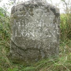
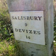
The property offers marked walking trails that connect the various archaeological sites, with designated parking areas available for visitors. Educational displays are positioned throughout the grounds to help you understand what you are seeing.
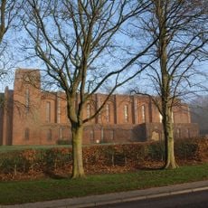
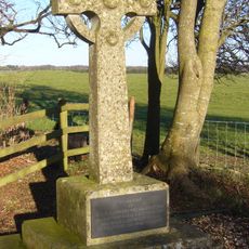
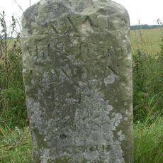
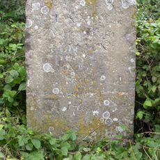
The estate holds two memorials dedicated to early aviation accidents from 1912, marking the site of the former Stonehenge Aerodrome. These structures reveal a forgotten chapter when this same landscape served a completely different purpose.
The community of curious travelers
AroundUs brings together thousands of curated places, local tips, and hidden gems, enriched daily by 60,000 contributors worldwide.