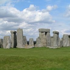
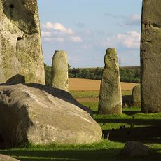
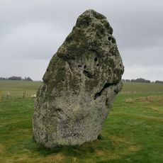
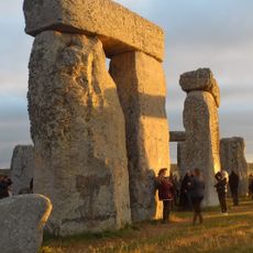
Stonehenge Cursus, Neolithic earthwork near Amesbury, England
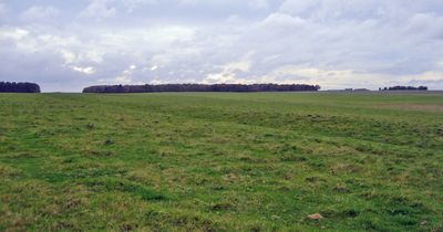
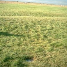
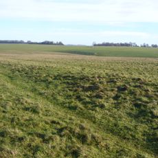
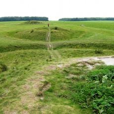
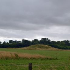
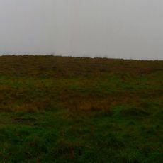
The Stonehenge Cursus is a long earthwork with two parallel ditches that extends for several kilometers, measuring between 100 and 150 meters across. Artificial pits mark each end of this rectangular structure, creating a striking linear feature in the landscape.
This earthwork was built in the early Neolithic period, centuries before Stonehenge itself was constructed. The parallel ditches represent an important shift in how people began reshaping the land with large-scale structures for communal purposes.
The name comes from the Latin word for "course," though the earthwork far predates Roman times. Walking along the parallel banks today, you can sense how Neolithic communities gathered here for shared rituals and events.
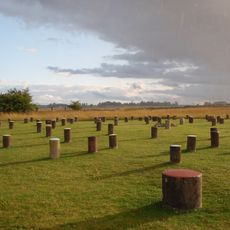
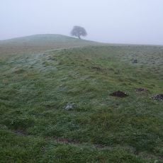
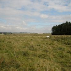
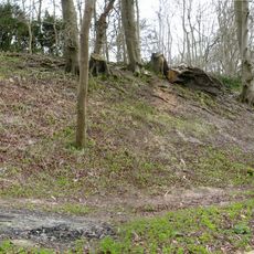
You can reach the site by walking along public bridlepaths that cross the National Trust land surrounding it. Wear sturdy footwear, as the paths can become muddy or waterlogged depending on weather conditions.
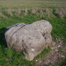
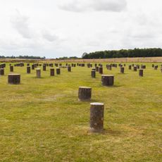
Excavations uncovered flint fragments and animal bones scattered along the structure, revealing that people gathered here repeatedly over time. The precise alignment of the end pits with sunrise and sunset at midsummer shows that builders understood and tracked the sun's movements with care.
Location: Amesbury
Part of: Stonehenge, Avebury and Associated Sites
Website: http://nationaltrust.org.uk/stonehenge-landscape/things-to-see-and-do
GPS coordinates: 51.18600,-1.82600
Latest update: December 7, 2025 20:22
Stonehenge
792 m
Durrington Walls
2.9 km
Woodhenge
2.8 km
Stonehenge, Avebury and Associated Sites
792 m
Bluestonehenge
2.5 km
Heelstone
749 m
Aubrey holes
765 m
Bush Barrow
1.6 km
Stonehenge Landscape
792 m
Vespasian's Camp
2.8 km
Stonehenge Avenue
793 m
Cuckoo Stone
2.4 km
New henge at Stonehenge
842 m
Normanton Down Barrows
1.6 km
Altar Stone
802 m
Church of St Alban the Martyr
1.8 km
Henge monuments at Durrington Walls and Woodhenge, a round barrow cemetery, two additional round barrows and four settlements
2.8 km
The Hewetson Memorial Cross at Fargo Plantation, and Field Plaque at SU13784399
997 m
West Amesbury House
2.5 km
Milestone Approximately 100 Metres South Of Longbarrow Roundabout At Junction With A303
2.9 km
Buildings 455 and 456 (Five Aircraft Hangars), Durrington Camp
2.1 km
Milestone Opposite Stonehenge
731 m
Milestone Approximately 850 Metres East Of Longbarrow Roundabout
2.1 km
Milestone
1 km
Milestone Near Junction With A303(T)
1.9 km
Stonehenge and Associated Monuments
796 m
Long barrow north east of Winterbourne Stoke crossroads
2.7 km
Milestone, Winterbourne Stoke Down; 60m W of edge Fargo Plantation
1.5 kmReviews
Visited this place? Tap the stars to rate it and share your experience / photos with the community! Try now! You can cancel it anytime.
Discover hidden gems everywhere you go!
From secret cafés to breathtaking viewpoints, skip the crowded tourist spots and find places that match your style. Our app makes it easy with voice search, smart filtering, route optimization, and insider tips from travelers worldwide. Download now for the complete mobile experience.
A unique approach to discovering new places❞
— Le Figaro
All the places worth exploring❞
— France Info
A tailor-made excursion in just a few clicks❞
— 20 Minutes