
Milestone, E of jct A417, milestone in Cirencester, Cotswold, UK
Location: Cotswold
Inception: 19 century
GPS coordinates: 51.72660,-1.92756
Latest update: March 6, 2025 09:58

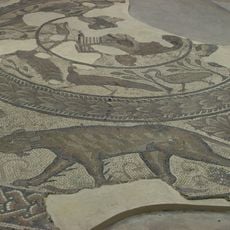
Corinium Dobunnorum
2.8 km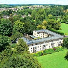
Abbey House, Cirencester
2.9 km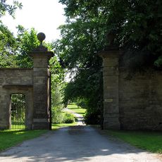
Ampney Park
1.8 km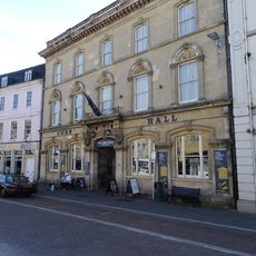
Corn Hall Buildings
2.9 km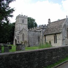
Church of the Holy Rood
1.9 km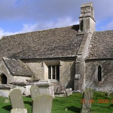
Church of St Mary
2.9 km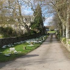
Church of All Saints
2.3 km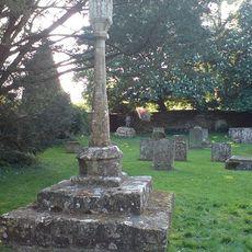
Cross in Churchyard of Church of the Holy Rood
1.9 km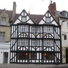
Fleece Hotel
2.9 km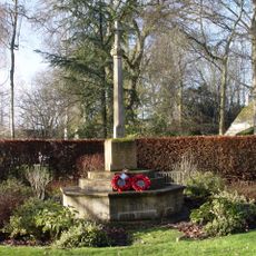
Ampney Crucis War Memorial
2 km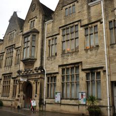
Bingham Library
2.9 km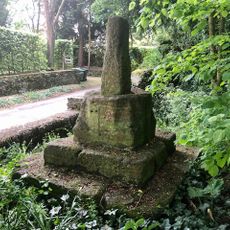
Wayside Cross at Ampney Crucis
2 km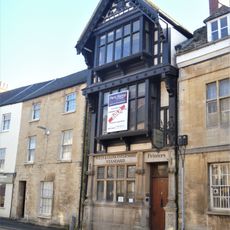
74 Dyer Street (former offices of the Wiltshire and Gloucestershire Standard)
2.7 km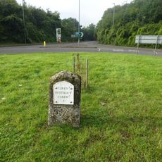
Milestone At Ngr Sp 036 027
1.5 km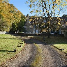
Church Farmhouse
2.4 km
50, 52 And 54, Chester Street
2.8 km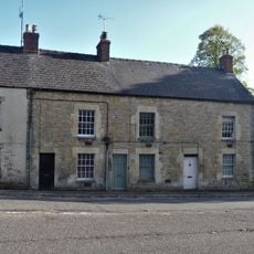
6, 8 And 10, London Road
2.5 km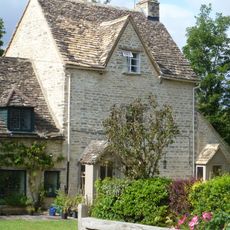
12, City Bank Road
2.8 km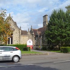
Cirencester County Junior School
2.8 km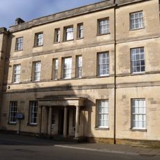
3 And 5, Dyer Street
2.8 km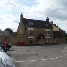
Cotswold Club And Attached Railings
2.9 km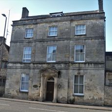
Oxford House
2.6 km
10, City Bank Road
2.8 km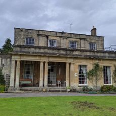
Watermoor House
2.9 km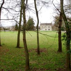
Norcote Farmhouse
876 m
12, Dyer Street
2.9 km
Milestone, Glebe Farm
1.6 km
Milestone, W of entrance to Ampney Park.
1.4 kmReviews
Visited this place? Tap the stars to rate it and share your experience / photos with the community! Try now! You can cancel it anytime.
Discover hidden gems everywhere you go!
From secret cafés to breathtaking viewpoints, skip the crowded tourist spots and find places that match your style. Our app makes it easy with voice search, smart filtering, route optimization, and insider tips from travelers worldwide. Download now for the complete mobile experience.

A unique approach to discovering new places❞
— Le Figaro
All the places worth exploring❞
— France Info
A tailor-made excursion in just a few clicks❞
— 20 Minutes