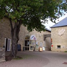
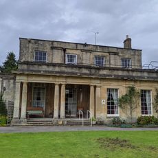
Corinium Dobunnorum, Archaeological excavation in Cirencester, United Kingdom.
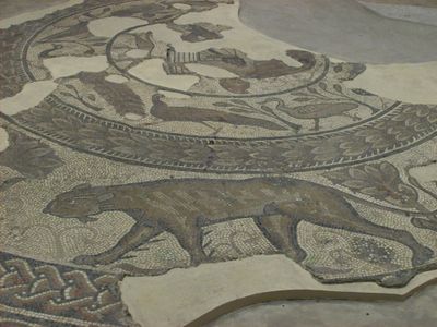
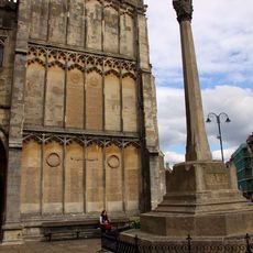
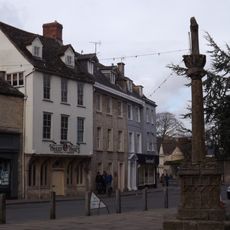
Corinium Dobunnorum was a Roman settlement featuring remains of a forum, basilica, amphitheatre, and market areas arranged along a network of streets. The site includes traces of military fortifications, residential buildings, and public structures spread across a substantial area.
The settlement originated as a Roman military fort around 54 AD and later developed into one of the largest Roman cities in Britain. Its growth reflected the expansion of Roman control and settlement patterns across the region.
The settlement served as a hub for skilled craftspeople who produced decorated pottery and stone carvings that reflected local artistic traditions and continue to tell stories about daily life.
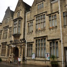
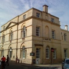
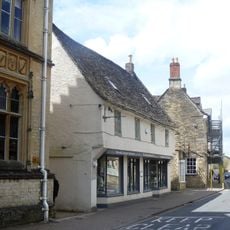
The most visible remains are located in Abbey Park and can be explored on foot, while the Corinium Museum in town houses the majority of artifacts discovered during excavations. Walking through both locations helps piece together what the settlement looked like.
One of the settlement's main buildings required major reconstruction in the second century after its walls cracked due to being built directly over an earlier military ditch. This mishap reveals how Roman builders adapted to existing structures left from the site's military past.
The community of curious travelers
AroundUs brings together thousands of curated places, local tips, and hidden gems, enriched daily by 60,000 contributors worldwide.