
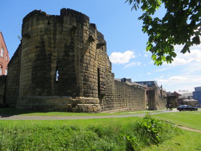
Herber Tower, tower in Newcastle upon Tyne, England, UK
Location: Newcastle upon Tyne
Part of: Town Wall, With Morden, Herber And Ever Towers
GPS coordinates: 54.97170,-1.62120
Latest update: March 3, 2025 00:29
NX Newcastle
198 m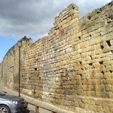
Newcastle town wall
13 m
Hadrian's Tower
73 m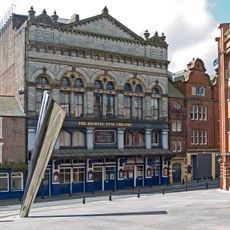
Tyne Theatre and Opera House
138 m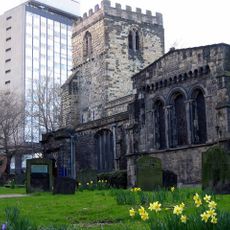
St Andrew's Church, Newcastle upon Tyne
268 m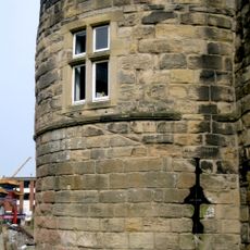
Morden Tower
71 m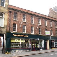
Newcastle Arts Centre
274 m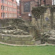
Ever Tower
202 m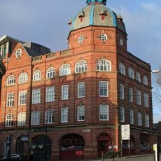
Former Co-operative Wholesale Society Printing Works
51 m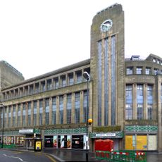
Co-operative Stores
242 m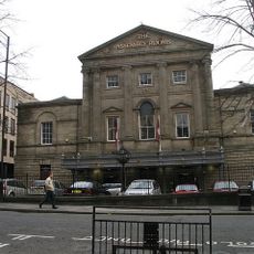
Old Assembly Rooms
286 m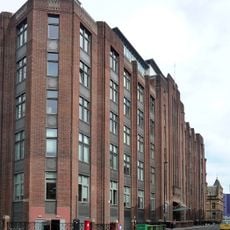
Alfred Wilson House
256 m
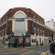
Cineworld Cinema Newcastle upon Tyne
209 m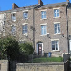
200 And 202, Westgate Road
224 m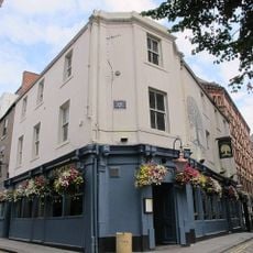
Forth House
284 m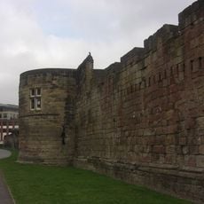
Town Wall, With Morden, Herber And Ever Towers
104 m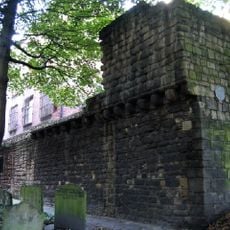
Town Wall South Of Numbers 74-80 Town Wall To Rear Of Number 43
239 m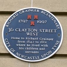
26-36, Clayton Street West
287 m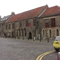
Blackfriars South Range
100 m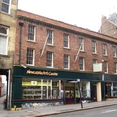
67, Westgate Road
272 m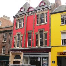
69, Westgate Road
262 m
Blackfriars East Range
117 m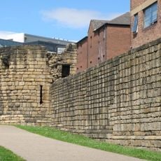
Town Wall With Durham Tower
65 m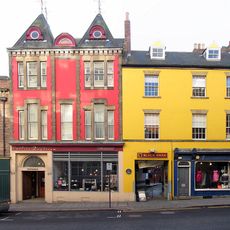
71-75, Westgate Road
250 m
190, Westgate Road
185 m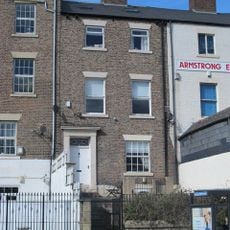
178, Westgate Road
150 m
Town Boundary Stone in Rear Wall of Number 65 Westgate Road
285 m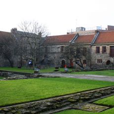
Blackfriars West Range
82 mReviews
Visited this place? Tap the stars to rate it and share your experience / photos with the community! Try now! You can cancel it anytime.
Discover hidden gems everywhere you go!
From secret cafés to breathtaking viewpoints, skip the crowded tourist spots and find places that match your style. Our app makes it easy with voice search, smart filtering, route optimization, and insider tips from travelers worldwide. Download now for the complete mobile experience.

A unique approach to discovering new places❞
— Le Figaro
All the places worth exploring❞
— France Info
A tailor-made excursion in just a few clicks❞
— 20 Minutes