
Friends Bridge, Pedestrian bridge (footbridge) in Hackney, London, England, United Kingdom; Hackney, London, England, United Kingdom
Location: London Borough of Hackney
GPS coordinates: 51.56144,-0.03730
Latest update: March 5, 2025 14:42

New Spitalfields Market
1.3 km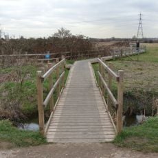
Walthamstow Marshes
1.3 km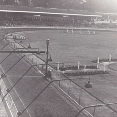
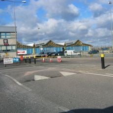
Clapton Stadium
560 m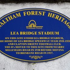
Lea Bridge Stadium
577 m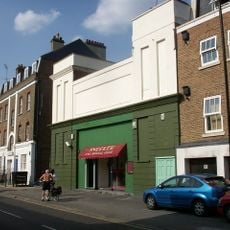
Castle Cinema
1.3 km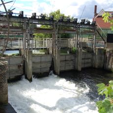
Middlesex Filter Beds Weir
499 m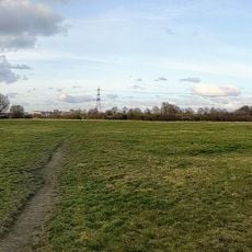
Leyton Marshes
843 m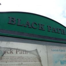
Black Path
1.3 km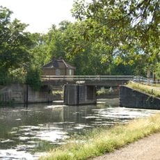
Pond Lane Flood Gates
443 m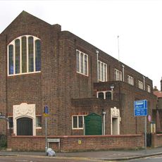
Emmanuel Church (Parish Church Of Emmanuel)
1 km
Energy Sculpture London
1.4 km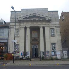
Chats Palace
1.3 km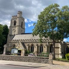
Church of St Barnabas
1.4 km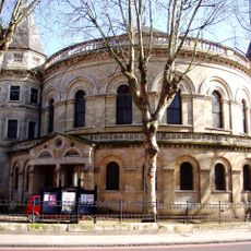
United Reformed Church
1.4 km
Church of St Saviour
1.5 km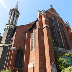
Church of St James the Great
1.4 km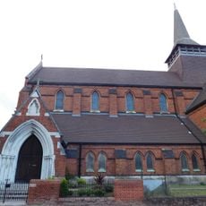
Former Church of St Paul
1.1 km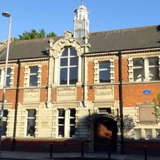
Lea Bridge Library
1.4 km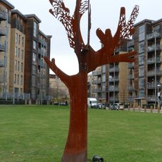
Friendship Tree
747 m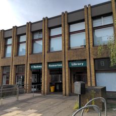
Homerton Library
1.4 km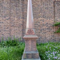
War memorial in the churchyard of the Church of Emmanuel, Leyton
1 km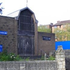
St Matthew
1.3 km
Pond House
1.3 km
Salvation Army Congress Hall
1.3 km
The Salvation Army Mothers' Hospital, Front Buildings
1.4 km
Verger's House To United Reformed Church
1.4 km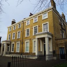
126 And 128, Lower Clapton Road E5
1.4 km
158 And 160, Lower Clapton Road E5
1.3 kmReviews
Visited this place? Tap the stars to rate it and share your experience / photos with the community! Try now! You can cancel it anytime.
Discover hidden gems everywhere you go!
From secret cafés to breathtaking viewpoints, skip the crowded tourist spots and find places that match your style. Our app makes it easy with voice search, smart filtering, route optimization, and insider tips from travelers worldwide. Download now for the complete mobile experience.

A unique approach to discovering new places❞
— Le Figaro
All the places worth exploring❞
— France Info
A tailor-made excursion in just a few clicks❞
— 20 Minutes