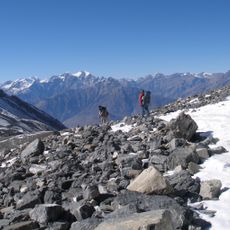
Khumjungar Himal, crëp tl
Location: Manang
Elevation above the sea: 6,759 m
GPS coordinates: 28.88899,84.12688
Latest update: November 13, 2025 15:57
Annapurna Circuit
21.3 km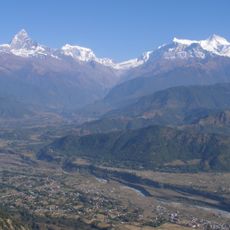
Annapurna Conservation Area
19.6 km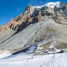
Yakawa Kang
20.1 km
Chhiv Himal
3.6 km
Statue, Work of art
19.1 km
Scenic viewpoint
18.3 km
Scenic viewpoint
19.6 km
Scenic viewpoint
22 km
Scenic viewpoint
10.3 km
Churi Ledar
22.5 km
Thorong La Pass
21.2 km
Scenic viewpoint
19.4 km
View of the ponds STP
21.3 km
Scenic viewpoint
19.5 km
Scenic viewpoint
20.5 km
Scenic viewpoint
22 km
Scenic viewpoint
22.2 km
Scenic viewpoint
22 km
Scenic viewpoint
21 km
Scenic viewpoint
22.5 km
Scenic viewpoint
22.7 km
Scenic viewpoint
20.5 km
Scenic viewpoint
22 km
Scenic viewpoint
21.5 km
Small wooden bridge at river level.
21 km
Scenic viewpoint
19.3 km
Ruined village
19.1 km
Buddhist stupa
22 kmReviews
Visited this place? Tap the stars to rate it and share your experience / photos with the community! Try now! You can cancel it anytime.
Discover hidden gems everywhere you go!
From secret cafés to breathtaking viewpoints, skip the crowded tourist spots and find places that match your style. Our app makes it easy with voice search, smart filtering, route optimization, and insider tips from travelers worldwide. Download now for the complete mobile experience.

A unique approach to discovering new places❞
— Le Figaro
All the places worth exploring❞
— France Info
A tailor-made excursion in just a few clicks❞
— 20 Minutes