Annapurna Circuit, Long-distance trail in Gandaki Province, Nepal
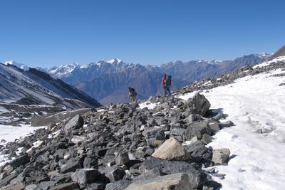
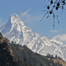
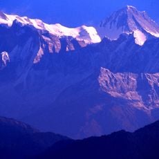
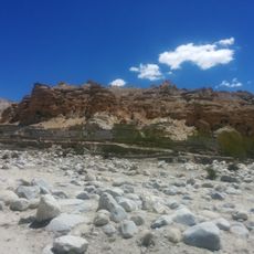
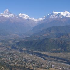
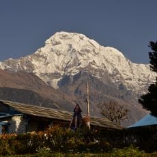
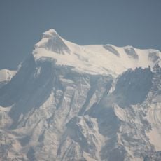
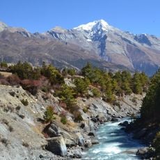
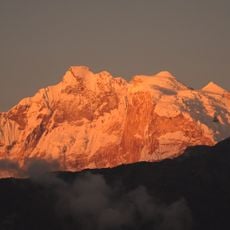
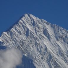
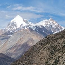
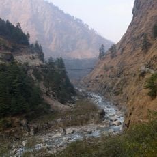
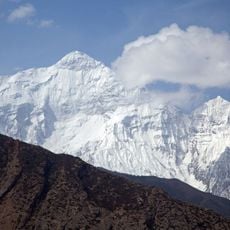
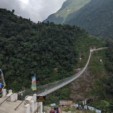
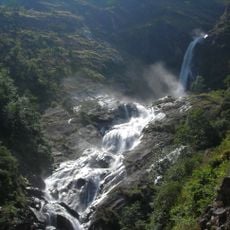
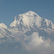
The Annapurna Circuit spans 230 kilometers through dense jungles, snow-capped mountains, and traditional villages surrounding the Annapurna mountain range in central Nepal. This loop connects deep valleys with high mountain passes and crosses several climate zones where landscape and vegetation change constantly.
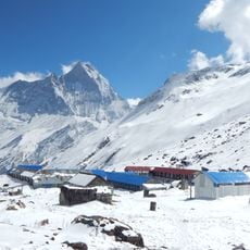
The region opened to international trekkers in 1977, leading to substantial development of infrastructure and accommodation facilities along the traditional mountain paths. Since then, local communities have transformed their old caravan routes into one of the most traveled long-distance trails in the world.
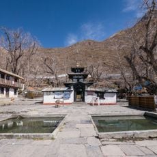
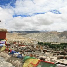
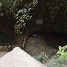
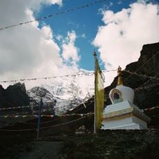
The trail passes through Muktinath, where ancient temples hold religious importance for Hindu and Buddhist practitioners who make regular pilgrimages. Believers from both traditions meet at this place surrounded by steep slopes and clear mountain air.
Trekkers require both a TIMS card and an Annapurna Conservation Area Permit, which can be obtained at government offices in Kathmandu. The best time to complete the route is between October and November or between March and April, when weather conditions are more stable.
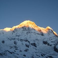
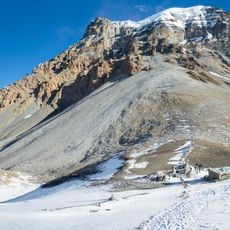
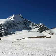
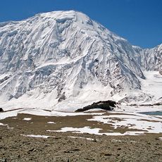
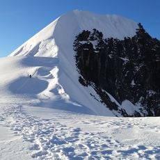
The circuit reaches its maximum elevation at Thorung La Pass at 5,416 meters (17,769 feet), where trekkers experience temperature variations from subtropical to alpine conditions. Some sections lie lower than 800 meters (2,625 feet) above sea level, while others run almost 3,000 meters (9,843 feet) higher.
The community of curious travelers
AroundUs brings together thousands of curated places, local tips, and hidden gems, enriched daily by 60,000 contributors worldwide.