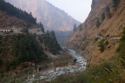
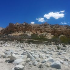
Kali Gandaki Gorge, Deep canyon in Gandaki Province, Nepal.
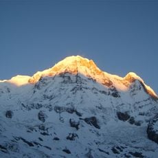
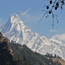
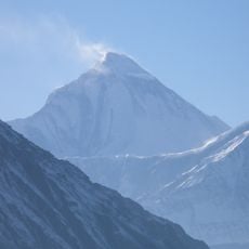
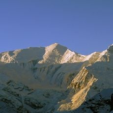
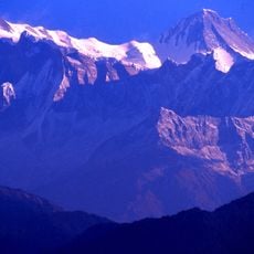
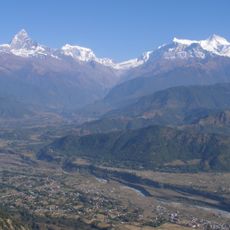
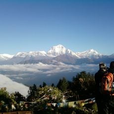
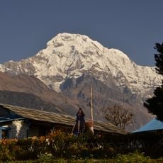
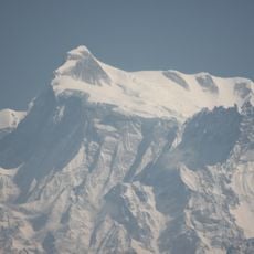
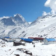
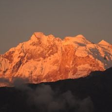
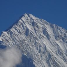
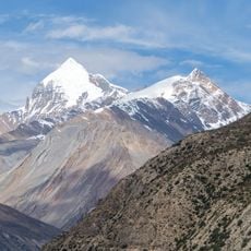
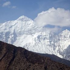
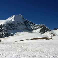
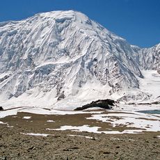
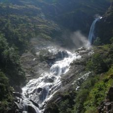
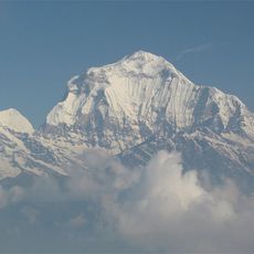
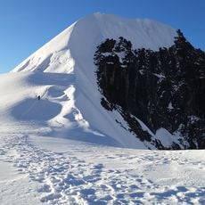
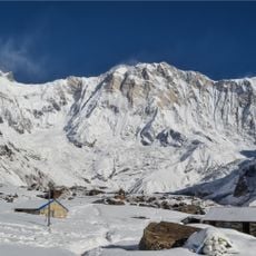
Kali Gandaki Gorge is a deep canyon in Gandaki Province that sits between the Dhaulagiri and Annapurna peaks. The Kali Gandaki River cuts through this narrow passage, creating one of the world's deepest gorges in the Himalayan region.
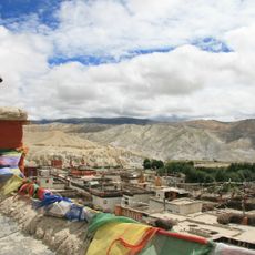
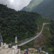
The gorge functioned as a major trade route connecting Tibet and India for centuries. This passage allowed the movement of goods and shaped the development of settlements along its course.
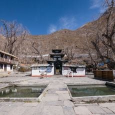
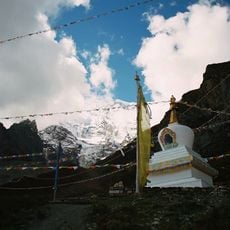
The Thakali people living near the gorge maintain traditional practices connected to the river and mountains. Hindu pilgrims visit to look for sacred shaligram fossils along the riverbed, a spiritual practice that shapes how people move through this space.
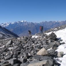
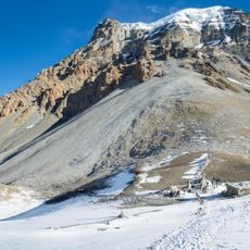
You can reach the gorge through multiple entry points starting from Pokhara, with guided treks available year-round. The clearest weather and safest conditions occur during specific seasons, making timing important for your visit.
The rock layers here contain marine fossils from the ancient Tethys Sea, trapped in stone from when this area was underwater. Today, people search for these shaligram fossils along the riverbed, valuing them as sacred objects.
Location: Gandaki Province
GPS coordinates: 28.70680,83.64530
Latest update: December 6, 2025 17:48
Nepal offers photographers an exceptional range of subjects, from the highest mountains on Earth to centuries-old religious sites. The Himalayan range dominates the northern regions, where trekkers head to Everest Base Camp and Annapurna Base Camp. At middle elevations, traditional mountain villages like Namche Bazaar and Manang Village provide cultural contexts, while Kali Gandaki Gorge ranks among the deepest in the world. High-altitude lakes including Gokyo Lakes, Rara Lake and Gosaikunda Lake lie in remote areas and attract photographers seeking untouched landscapes. The historic cities of the Kathmandu Valley preserve a rich architectural tradition. Boudhanath Stupa stands as one of the largest Buddhist structures of its kind, while Swayambhunath sits atop a hill overlooking the capital. In Bhaktapur, the five-tiered Nyatapola Temple rises above the townscape, and Durbar Square displays examples of Newari architecture. Lalitpur contains Patan Durbar Square with its temples and palaces. Beyond the valley, Lumbini marks the birthplace of Buddha, and Janaki Temple in Janakpur represents Hindu temple architecture. Phewa Lake in Pokhara reflects the Annapurna range, while viewpoints such as Sarangkot, Poon Hill and Nagarkot provide panoramas of multiple peaks above 26,000 feet (8,000 meters).
Annapurna Circuit
30.1 km
Annapurna
21.1 km
Muktinath Temple
25.2 km
Machhapuchhre
37.5 km
Mustang
49.6 km
Dhaulagiri
15.2 km
Annapurna III
36.2 km
Annapurna II
50.3 km
Mustang Caves
64.7 km
Annapurna Conservation Area
32.5 km
Gurja Himal
36.3 km
Annapurna South
26.2 km
Kalika Bhagawati Temple
50.3 km
Annapurna IV
46.8 km
Annapurna I East
21.4 km
Annapurna I Middle
21.9 km
Gangapurna
33.1 km
Milarepa Cave, Gandaki
39.3 km
Khatung Kang
27.8 km
Nilgiri North
9.9 km
Yakawa Kang
31.1 km
Jhinu Danda suspension bridge
37.6 km
Sita Chuchura
17.8 km
Tilicho Peak
16.4 km
Rupse Falls
16.9 km
Dhaulagiri II
25.9 km
Tharpu Chuli
28.8 km
Annapurna base camp trek
30 kmReviews
Visited this place? Tap the stars to rate it and share your experience / photos with the community! Try now! You can cancel it anytime.
Discover hidden gems everywhere you go!
From secret cafés to breathtaking viewpoints, skip the crowded tourist spots and find places that match your style. Our app makes it easy with voice search, smart filtering, route optimization, and insider tips from travelers worldwide. Download now for the complete mobile experience.
A unique approach to discovering new places❞
— Le Figaro
All the places worth exploring❞
— France Info
A tailor-made excursion in just a few clicks❞
— 20 Minutes