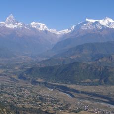
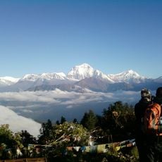
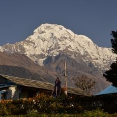
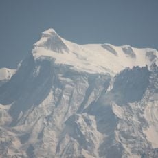
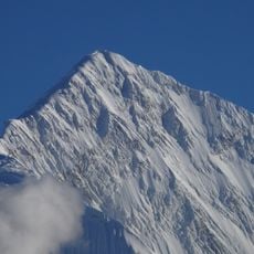
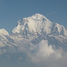
Dhaulagiri, Mountain summit in Gandaki Province, Nepal
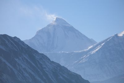
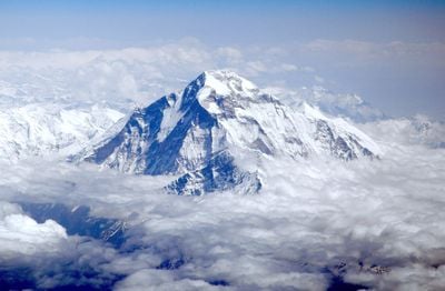
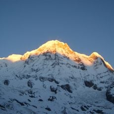
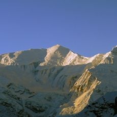
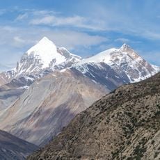
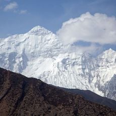
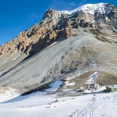
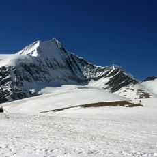
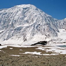
Dhaulagiri is the world's seventh-highest mountain, rising 8,167 meters above sea level with steep walls of limestone and dolomite rock. The massif has a complex structure with multiple peaks and deep valleys that cut through the surrounding terrain.
British surveyor William Webb mapped the mountain in 1809 and initially believed it was the world's highest peak. Later measurements in the 1830s revealed other summits were taller, reshaping understanding of global geography.
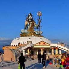
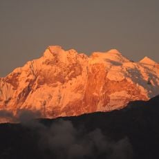
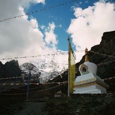
The name comes from Sanskrit and means "White Mountain," reflecting the constant snow cover that characterizes the limestone and dolomite rock. The white slopes are visible from across the region and hold significance in local legends and spiritual traditions.
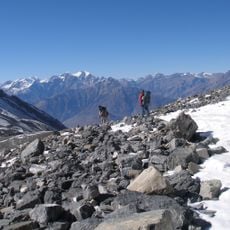
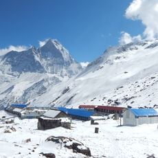
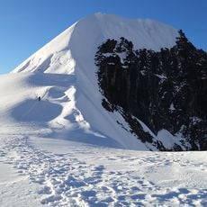
The Northeast Ridge is the primary climbing route and requires extensive high-altitude experience plus specialized equipment for alpine conditions. Visitors should prepare for sudden weather changes, thin air, and technically demanding terrain.
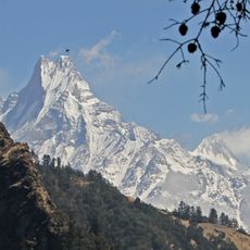
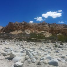
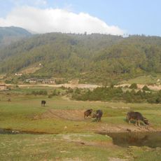
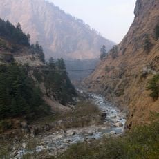
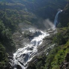
The mountain lies entirely within Nepal's borders and faces the Annapurna massif across the Kangri Gorge. The Kali Gandaki River cuts through this deep chasm, creating one of the region's most striking valley formations.
The community of curious travelers
AroundUs brings together thousands of curated places, local tips, and hidden gems, enriched daily by 60,000 contributors worldwide.