Dhorpatan Hunting Reserve, Hunting reserve in Baglung District, Nepal
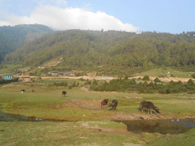
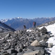
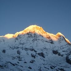
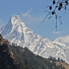
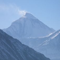
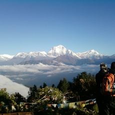
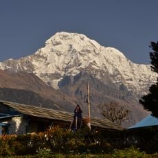
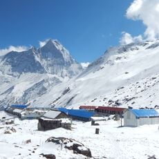
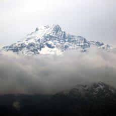
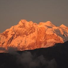
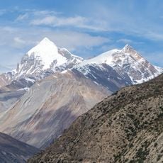
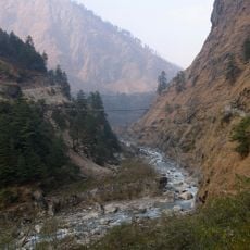
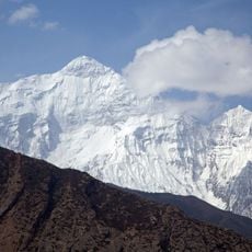
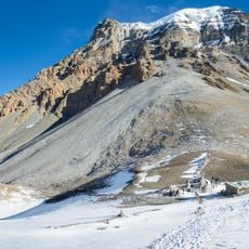
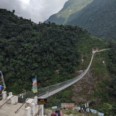
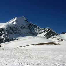
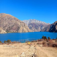
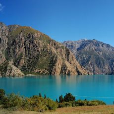
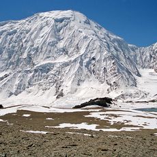
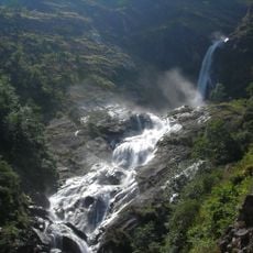
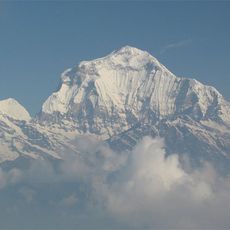
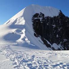
Dhorpatan Hunting Reserve is a protected area spanning several districts in western Nepal with varied terrain including snow-capped peaks, forests, wetlands, and open meadows at different elevations. The landscape supports both low-altitude forests and high-altitude alpine zones where specialized species thrive.
The area was established as a protected reserve in 1987 to safeguard its high-altitude ecosystems as part of Nepal's broader conservation effort. This protection marked a turning point in how the region's natural resources were managed.
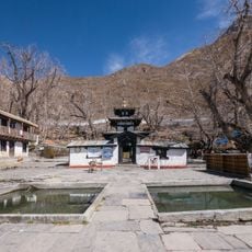
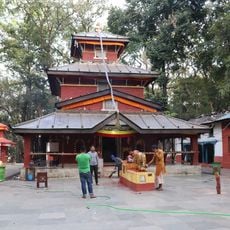
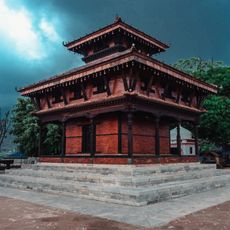
Local Magar, Thakali, and Gugung communities have lived in and around this area for generations, maintaining traditional ways of life tied to the mountain landscape. You can observe how these groups interact with the terrain and depend on its resources.
You need a permit from the Department of National Parks and Wildlife Conservation to participate in hunting activities, which are regulated and happen mainly during warmer months. Weather in the higher zones can change quickly, so come prepared with appropriate clothing and gear.
The reserve contains flowering plants found nowhere else in the world, with a significant portion occurring only within this specific region. This botanical richness makes it a remarkable destination for those interested in alpine plant life.
Location: Baglung District
Location: Myagdi District
Location: Eastern Rukum District
Inception: 1987
Website: http://dnpwc.gov.np/protected_areas/details/dhorpatanhuntingreserve
GPS coordinates: 28.64050,82.99450
Latest update: December 6, 2025 16:04
Nepal offers photographers an exceptional range of subjects, from the highest mountains on Earth to centuries-old religious sites. The Himalayan range dominates the northern regions, where trekkers head to Everest Base Camp and Annapurna Base Camp. At middle elevations, traditional mountain villages...
Annapurna Circuit
93.6 km
Annapurna
80.8 km
Muktinath Temple
87.8 km
Machhapuchhre
94.4 km
Dhaulagiri
48.8 kmDeukhuri
91.7 km
Gurja Himal
27.7 km
Annapurna South
80.5 km
Kalika Bhagawati Temple
74.2 km
Annapurna I East
82.4 km
Kanjiroba
88.9 km
Annapurna I Middle
82.1 km
Khatung Kang
91.5 km
Ambikeshwori Temple
82.8 km
Alam Devi Temple
92.5 km
Kali Gandaki Gorge
64 km
Argali Darbar
91.4 km
Nilgiri North
73.5 km
Yakawa Kang
94.4 km
Jhinu Danda suspension bridge
85.1 km
Sita Chuchura
50.3 km
Phoksundo Lake
62 km
Shey Phoksundo National Park
81.2 km
Tilicho Peak
79.9 km
Rupse Falls
63.4 km
Dhaulagiri II
40.7 km
Tharpu Chuli
87.9 km
Rishikesh Temple
89.3 kmVisited this place? Tap the stars to rate it and share your experience / photos with the community! Try now! You can cancel it anytime.
Discover hidden gems everywhere you go!
From secret cafés to breathtaking viewpoints, skip the crowded tourist spots and find places that match your style. Our app makes it easy with voice search, smart filtering, route optimization, and insider tips from travelers worldwide. Download now for the complete mobile experience.
A unique approach to discovering new places❞
— Le Figaro
All the places worth exploring❞
— France Info
A tailor-made excursion in just a few clicks❞
— 20 Minutes