Manang, Administrative district in Gandaki Province, Nepal
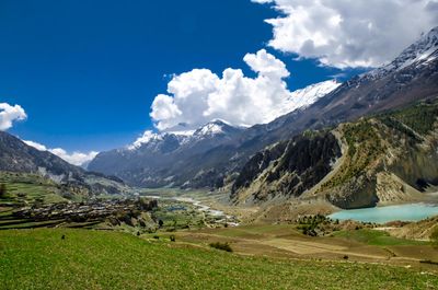
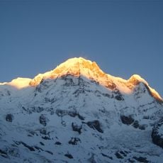
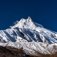
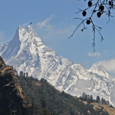
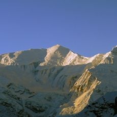
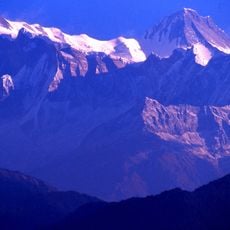
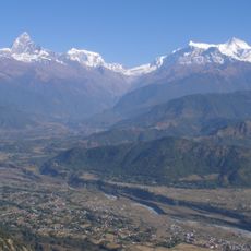
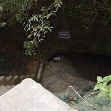
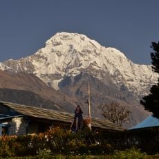
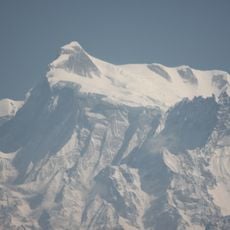
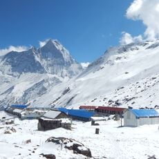
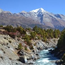
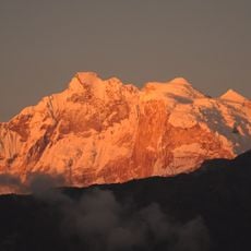
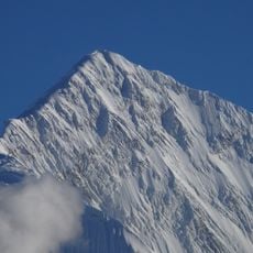
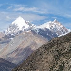
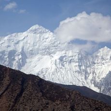
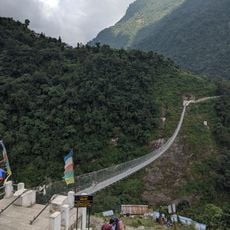
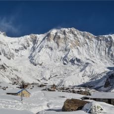
Manang is a mountain district in Nepal situated in a high valley between snow-capped peaks and spanning a large area. The place consists of several small settlements connected by steep trails, characterized by green meadows, forests, and bare rocky terrain.
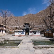
The area developed over centuries as an important trading hub between Nepal and Tibet, where merchants transported goods across mountain passes. This ancient trade route significantly shaped the development of settlements and regional connections.
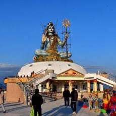
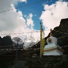
The region is home to communities that have lived in these mountains for generations, maintaining their traditions through daily practices and spiritual beliefs. As you walk through the settlements, you notice how people's lives are deeply connected to the landscape and the rhythm of mountain seasons.
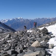
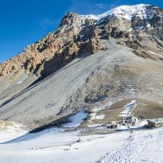
The terrain is steep and requires good physical preparation; visitors should take time to adjust to the elevation. Sturdy footwear and weatherproof clothing are necessary, as the climate changes quickly and the trails are demanding.
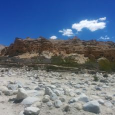
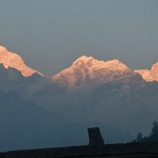
The area lies north of the main Himalayan range and therefore receives very little rain and snow, creating a dry climate. This geographical location makes it one of the driest places in Nepal, despite being surrounded by high mountains.
The community of curious travelers
AroundUs brings together thousands of curated places, local tips, and hidden gems, enriched daily by 60,000 contributors worldwide.