Mont Rouge, Mountain summit in Ardèche, France.
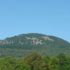
Mont Rouge is a mountain summit in the Ardèche that rises above the surrounding landscape and offers views across the varied terrain of the region. Multiple marked trails lead to the peak from different starting points, allowing hikers to choose routes suited to their experience level.
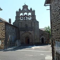
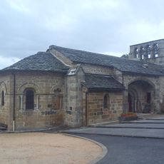
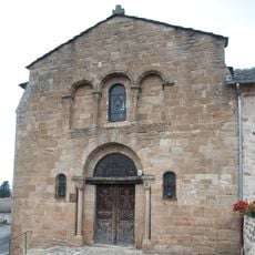
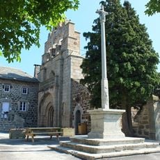
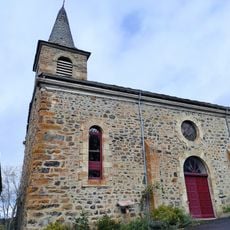
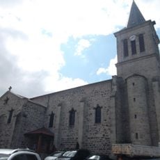
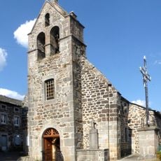
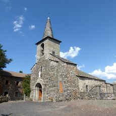
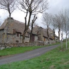
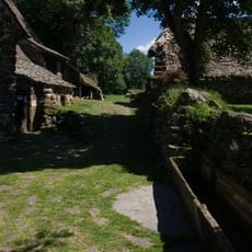
The peak has served as a landmark for inhabitants and travelers crossing the Ardèche region for centuries. Its enduring role as a reference point shows the long history of human settlement in this area.
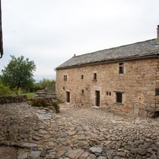
Shepherds still graze their flocks on the slopes following practices that have been part of local life for centuries. This seasonal movement of animals shapes how the land is used and shows the deep connection between people and the mountain.
The hike requires different levels of effort depending on which path you choose, so consider your fitness level and available time. Sturdy shoes and weather-appropriate clothing are recommended since conditions at higher elevations can change quickly.
From the summit, visitors can see both the Rhone Valley and the volcanic formations that define the Ardèche landscape. This view reveals how different geological features of the region connect, explaining why this location has always been crucial for navigation.
GPS coordinates: 45.05637,4.09614
Latest update: December 15, 2025 13:29
Château de Bonneville
2.4 km
Testavoyre
2.7 km
Église Saint-Julien à Saint-Julien-Chapteuil
3.6 km
Ravines of Corbœuf
11.2 km
Château de Lardeyrol
6 kmChapelle des Pénitents d'Yssingeaux
10 km
Église Saint-Front de Saint-Front
9.6 km
Jardin Botanique Montagnard
11.4 km
Ferme Paradis la Montjoie de Montferrat
8.3 km
Église Saint-Pierre de Saint-Pierre-Eynac
4.9 km
Église Saint-Étienne de Saint-Étienne-Lardeyrol
7.7 km
Croix de Saint-Front
9.6 km
Base de loisirs du Neyrial
10.2 km
Église Saint-Jean-Baptiste de Queyrières
1.8 km
Église Saint-Jean-Baptiste de Bessamorel
7.3 km
Église Saint-Pierre de Saint-Hostien
4.3 km
Église Saint-Voy de Mazet-Saint-Voy
11.2 km
Église Saint-Pierre-aux-Liens
10.2 km
Église Saint-Vincent de Lantriac
9.5 km
Église Saint Pierre de Montusclat
5.2 km
Chapelle de la Chapelette
6.9 km
Église de l'Assomption de Champclause
7.4 km
Ferme de Bigorre
6.8 km
Église de l'Assomption de Boussoulet
3.8 km
Église Saint-Julien-de-Brioude de Malrevers
11.3 km
Ferme Perrel
11.2 km
Église Saint-Barthélemy du Pertuis
5.3 km
Église de l'Assomption de Recharinges
5.1 kmVisited this place? Tap the stars to rate it and share your experience / photos with the community! Try now! You can cancel it anytime.
Discover hidden gems everywhere you go!
From secret cafés to breathtaking viewpoints, skip the crowded tourist spots and find places that match your style. Our app makes it easy with voice search, smart filtering, route optimization, and insider tips from travelers worldwide. Download now for the complete mobile experience.
A unique approach to discovering new places❞
— Le Figaro
All the places worth exploring❞
— France Info
A tailor-made excursion in just a few clicks❞
— 20 Minutes