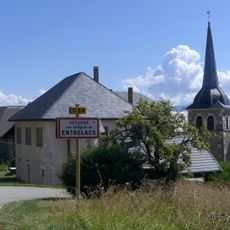
Mont Clergeon, Mountain summit in Savoie, France
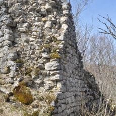
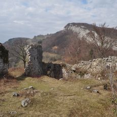
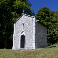
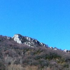
Mont Clergeon is a 1,025 feet (312 meters) high summit characterized by limestone formations and several hiking trails through dense alpine forests and open meadows. The various routes connect nearby villages and pass by natural cave formations that run through the landscape.
The mountain formed through water erosion over millions of years, creating a complex structure of limestone layers. This geological development also shaped the extensive underground cave systems that today run through the mountain's interior.
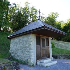
Local residents maintain traditional hiking paths and orientation tables at the summit, preserving access to panoramic views of Lake Bourget and Mont Blanc.
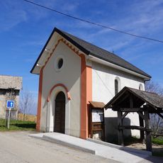
Access to the summit typically starts from the Grange Neuve parking area, where marked trails lead through small settlements and forest areas. Starting early in the day is advisable, and bringing appropriate gear makes sense since conditions can be variable.
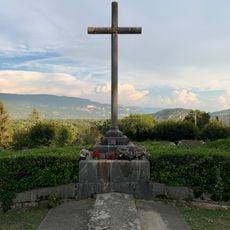
From the summit, four distinct landscapes can be seen at once: the Rhone valley, Lake Bourget, the Aravis range, and the Annecy region. This exceptional viewing position makes the mountain a natural observation point for large portions of the eastern Alpine area.
The community of curious travelers
AroundUs brings together thousands of curated places, local tips, and hidden gems, enriched daily by 60,000 contributors worldwide.