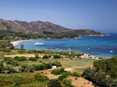
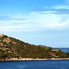
Plage de la Roya, Sandy beach along the Gulf of Saint-Florent, France
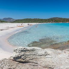
Plage de la Roya is a sandy and pebbled beach extending west from the Aliso River along the Saint-Florent coast. The shoreline offers different sections with varying surfaces, stretching from near the port toward the coastal walking path.
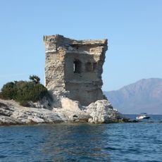
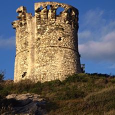
This beach marks the start of the path toward the Agriates desert region, which holds ancient coastal fortifications. The area was historically significant for coastal defense.
Locals and visitors gather here to eat traditional Corsican food at small beachfront restaurants, and the daily use of this place shows how important it is to the community.
Parking areas are available along Pezzu Road, with lifeguards on duty during summer months. Facilities such as showers and equipment rental options make longer stays more convenient.
The beach transitions from the urban harbor area to natural Mediterranean scrubland with pine trees offering shade. This shift creates a place where town and nature meet.
The community of curious travelers
AroundUs brings together thousands of curated places, local tips, and hidden gems, enriched daily by 60,000 contributors worldwide.