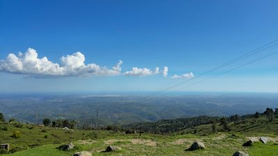
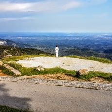
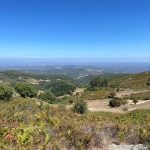
Viewpoint of the FOIA, Mountain viewpoint in Monchique Mountains, Portugal.
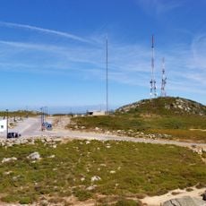
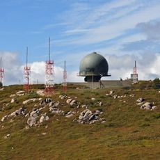
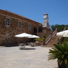
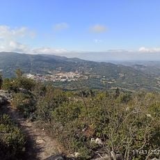
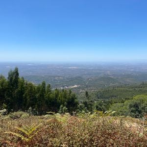
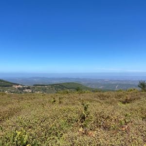
Viewpoint of the FOIA sits at 902 meters elevation in the Monchique Mountains and commands views of the Algarve coast from Portimão to Cape Saint Vincent. The site includes parking, a café, a restaurant, and designated spots for photography.
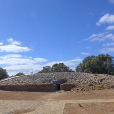
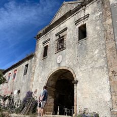
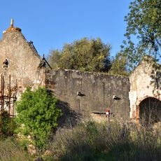
Archaeological findings near Foia point to human presence dating back to prehistoric times. Artifacts have been discovered scattered across the mountain slopes and surrounding valleys.
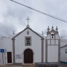
People visit this mountain top during local celebrations where traditional music fills the air and meals made with mountain herbs are shared.
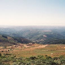
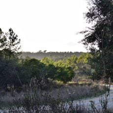
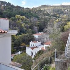
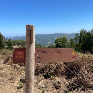
The site is accessible by car on paved roads or on foot via marked hiking trails. Visitors should prepare for changing weather conditions and bring warm layers since elevation significantly affects conditions.
The summit hosts scientific equipment for monitoring the atmosphere and telecommunications towers that make it a key point for weather research in the region. These installations reveal how this natural site serves modern research needs.
The community of curious travelers
AroundUs brings together thousands of curated places, local tips, and hidden gems, enriched daily by 60,000 contributors worldwide.