Cedar Ridge Golf Course
Location: Mount Joy Township
GPS coordinates: 39.76615,-77.18873
Latest update: October 8, 2024 02:51
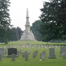
Gettysburg National Cemetery
7 km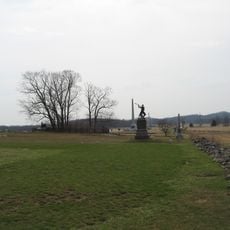
High-water mark of the Confederacy
6.5 km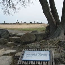
The Angle
6.7 km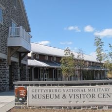
Gettysburg National Military Park Museum and Visitor Center
6 km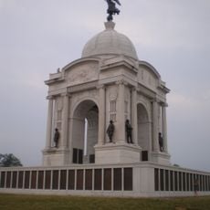
The Pennsylvania State Memorial
6.1 km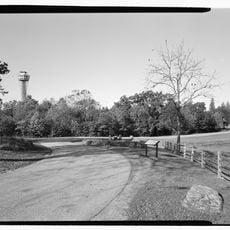
Gettysburg National Tower
6.5 km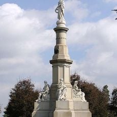
Soldiers' National Monument
7 km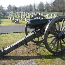
Evergreen Cemetery
7 km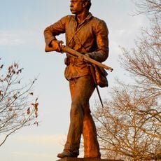
Gettysburg Battlefield Historic District
6.6 km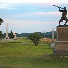
72nd Pennsylvania Infantry Monument
6.6 km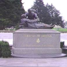
Friend to Friend Masonic Memorial
7.1 km
High Water Mark of the Rebellion Monument
6.5 km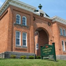
Evergreen Cemetery gatehouse
7 km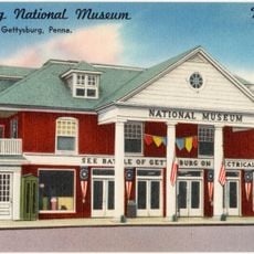
Gettysburg National Museum
6.9 km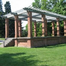
Gettysburg Rostrum
6.8 km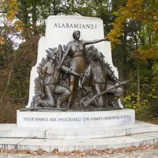
Alabama State Monument
6 km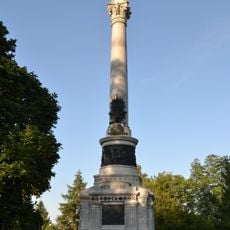
New York State Monument
7.1 km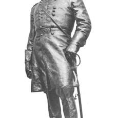
Winfield Scott Hancock
6.1 km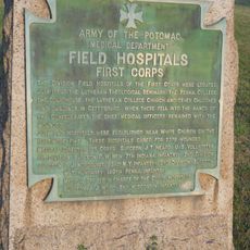
Rock Creek-White Run Union Hospital Complex
2.7 km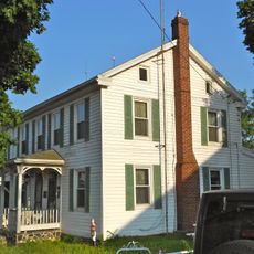
Spangler-Benner Farm
4 km
Mason and Dixon West Line Milestone Markers 76 and 77
5.8 km
Horner House and Barn
6.7 km
Scenic viewpoint
6.1 km
Women's Memorial
7 km
CS Sharpshooter's position
5.4 km
Quail Valley Golf Course
5.4 km
Abraham Lincoln at Gettysburg
5.9 km
Scenic viewpoint
6.6 kmReviews
Visited this place? Tap the stars to rate it and share your experience / photos with the community! Try now! You can cancel it anytime.
Discover hidden gems everywhere you go!
From secret cafés to breathtaking viewpoints, skip the crowded tourist spots and find places that match your style. Our app makes it easy with voice search, smart filtering, route optimization, and insider tips from travelers worldwide. Download now for the complete mobile experience.

A unique approach to discovering new places❞
— Le Figaro
All the places worth exploring❞
— France Info
A tailor-made excursion in just a few clicks❞
— 20 Minutes