River Valley Golf Course
Location: Westfield Township
Operator: Jeff
GPS coordinates: 41.93151,-77.47659
Latest update: November 16, 2025 20:41
Colton Point State Park
25.7 km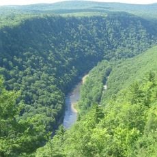
Leonard Harrison State Park
26.2 km
State Game Lands Number 37
26.3 km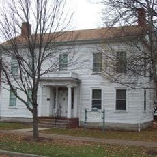
Robinson House
25.1 km
Lake Nessmuk
27.2 km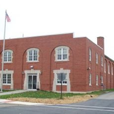
Wellsboro Armory
25 km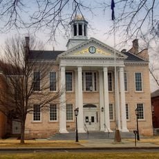
Wellsboro Historic District
25 km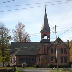
Parkhurst Memorial Presbyterian Church
14.6 km
Colton Point State Park Historic District
25.6 km
Jesse Robinson House
25.2 km
Cowanesque Lake
25.8 km
State Game Lands Number 64
21.7 km
State Game Lands Number 208
18.5 km
Colton Point
24.8 km
Tauscher Pond
27.4 km
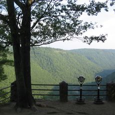
Scenic viewpoint
25.8 km
Tyoga Country Club
25.2 km
Scenic viewpoint
26.4 km
Scenic viewpoint
26.3 km
Otter View
26.7 km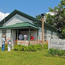
Northrup Hill School District 10
25.5 km
Scenic viewpoint
25.7 km
Scenic viewpoint
25.5 km
Scenic viewpoint
23.8 km
Scenic viewpoint
24.9 km
Scenic viewpoint
25.2 km
Scenic viewpoint
19.8 km
Waterfall
15 kmReviews
Visited this place? Tap the stars to rate it and share your experience / photos with the community! Try now! You can cancel it anytime.
Discover hidden gems everywhere you go!
From secret cafés to breathtaking viewpoints, skip the crowded tourist spots and find places that match your style. Our app makes it easy with voice search, smart filtering, route optimization, and insider tips from travelers worldwide. Download now for the complete mobile experience.

A unique approach to discovering new places❞
— Le Figaro
All the places worth exploring❞
— France Info
A tailor-made excursion in just a few clicks❞
— 20 Minutes