Hucul ménes
Location: Jósvafő
Operator: Aggteleki Nemzeti Park
GPS coordinates: 48.49459,20.54786
Latest update: March 12, 2025 20:38
Baradla Domica cave system
4.7 km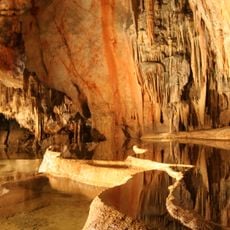
Caves of Aggtelek Karst and Slovak Karst
4.6 km
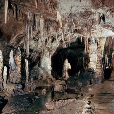
Baradla cave
4.7 km
Béke Cave
3.8 km
Kossuth Cave
813 m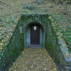
Vass Imre Cave
805 m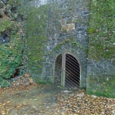
Baradla Short Lower Cave
1.3 km
Mohos Lakes
2.6 km
Mohos Hill Fort
2.6 km
Baradla-tetői Pothole
3.5 km
Tücsök Hole
1.4 km
Por Hole
1.8 km
Kuriszláni Cave
2 km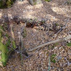
Néti Hole
3.1 km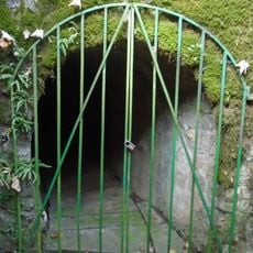
Babot-kúti Cave
1.5 km
Szarvasól Cave
4.4 km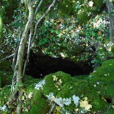
Eger Pothole
3.4 km
Kuriszlánfő Pothole
2.1 km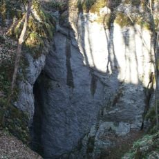
Bezodná ľadnica
4.8 km
Kecovske skrapy
4.4 km
Kalvinana preĝejo (Aggtelek)
4.3 km
Nagyboldogasszony-kápolna
4.1 km
Scenic viewpoint
4.4 km
Pitics-hegyi-kilátó
4.5 km
Scenic viewpoint
4.6 km
Work of art, sculpture
4.7 km
Scenic viewpoint
1.2 km
Kúria Oktatóközpont
1.2 kmReviews
Visited this place? Tap the stars to rate it and share your experience / photos with the community! Try now! You can cancel it anytime.
Discover hidden gems everywhere you go!
From secret cafés to breathtaking viewpoints, skip the crowded tourist spots and find places that match your style. Our app makes it easy with voice search, smart filtering, route optimization, and insider tips from travelers worldwide. Download now for the complete mobile experience.

A unique approach to discovering new places❞
— Le Figaro
All the places worth exploring❞
— France Info
A tailor-made excursion in just a few clicks❞
— 20 Minutes