
The Sugarshed
Location: Sarina
Location: Mackay Regional
GPS coordinates: -21.42750,149.21770
Latest update: March 13, 2025 08:57
Cape Palmerston National Park
28.3 km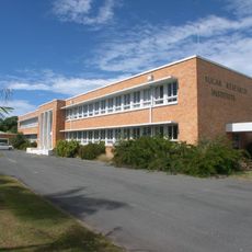
Sugar Research Institute
30.2 km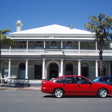
Commonwealth Bank Building, Mackay
32 km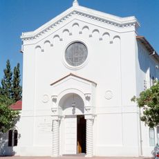
Holy Trinity Church, Mackay
31.8 km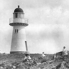
Flat Top Island Light
29.8 km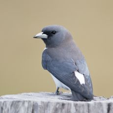
Yuwi Paree Toolkoon National Park
28.7 km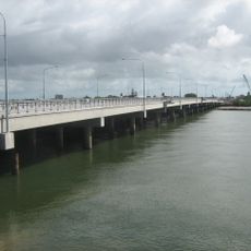
Forgan Bridge
32.4 km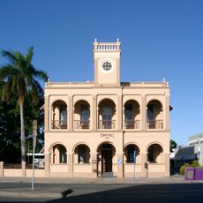
Mackay Town Hall
31.9 km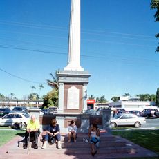
World War I Cenotaph, Mackay
31.8 km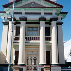
Mackay Masonic Temple
31.9 km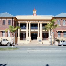
Mackay Court House and Police Station
31.9 km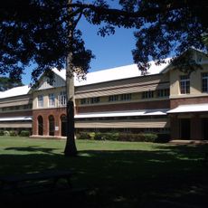
Mackay Central State School
31.6 km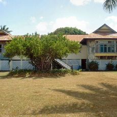
Selwyn House, Mackay
30.3 km
Greenmount Homestead
34.2 km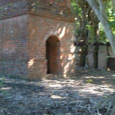
Richmond Mill Ruins
39.2 km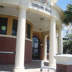
Mackay Customs House
32.2 km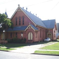
St Paul's Uniting Church, Mackay
32 km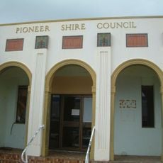
Pioneer Shire Council Building
32.2 km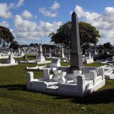
Mackay General Cemetery
31.9 km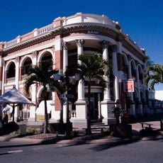
Queensland National Bank, Mackay
32 km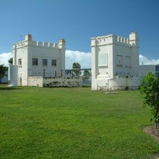
East Gordon Street Sewerage Works
31.6 km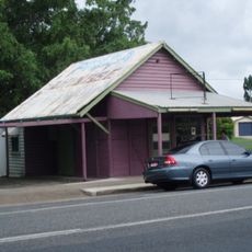
Walkerston State Butcher's Shop
33.6 km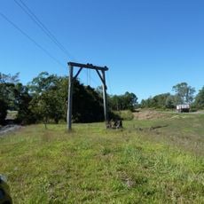
The Leap Cane Lift
42.6 km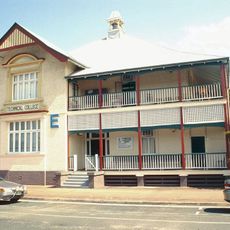
Mackay Technical College
31.6 km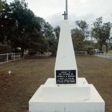
Koumala War Memorial
20.2 km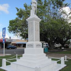
Sarina War Memorial
356 m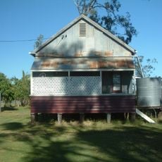
Homebush Mission Hall
23.6 km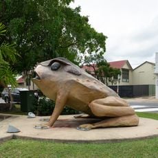
Cane Toad
567 mReviews
Visited this place? Tap the stars to rate it and share your experience / photos with the community! Try now! You can cancel it anytime.
Discover hidden gems everywhere you go!
From secret cafés to breathtaking viewpoints, skip the crowded tourist spots and find places that match your style. Our app makes it easy with voice search, smart filtering, route optimization, and insider tips from travelers worldwide. Download now for the complete mobile experience.

A unique approach to discovering new places❞
— Le Figaro
All the places worth exploring❞
— France Info
A tailor-made excursion in just a few clicks❞
— 20 Minutes