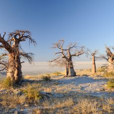
Tjumutjumuga
Location: Central District
GPS coordinates: -20.46467,25.32767
Latest update: November 17, 2025 12:06
Kubu Island
69.9 km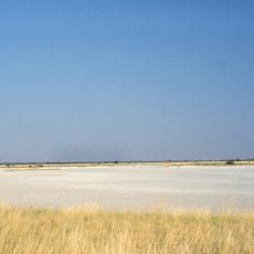
Nxai Pan National Park
75 km
Makgadikgadi Pans National Park
58.9 km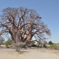
Chapman’s Baobab
8.6 km
Waterhole #4
88.5 km
Waterhole #3
87.2 km
Lookout platform
78.6 km
Waterhole
83.8 km
Zebra Waterhole
12.2 km
Grass Plain
11.8 km
Giant Baobab Tree
38.3 km
Home
28.4 km
Scenic viewpoint
84 km
Waterhole
85.5 km
Boabab
89.6 km
Green's Baobab
11 km
Waterhole #2
85.3 km
Waterhole #1
81.6 km
Waterhole #1
84.8 km
Waterhole
83.4 km
Baines Baobabs
70.2 km
Kaoza Spring
2.3 km
Kubu Island
70.3 km
Look out point and hide
81.5 km
Scenic viewpoint
84.3 km
Scenic viewpoint
83.6 km
Roam Rock
70.9 km
Baines Baobabs
70.3 kmReviews
Visited this place? Tap the stars to rate it and share your experience / photos with the community! Try now! You can cancel it anytime.
Discover hidden gems everywhere you go!
From secret cafés to breathtaking viewpoints, skip the crowded tourist spots and find places that match your style. Our app makes it easy with voice search, smart filtering, route optimization, and insider tips from travelers worldwide. Download now for the complete mobile experience.

A unique approach to discovering new places❞
— Le Figaro
All the places worth exploring❞
— France Info
A tailor-made excursion in just a few clicks❞
— 20 Minutes