Sua Town Turn TJunction
Location: Central District
Address: Sua
GPS coordinates: -20.51997,26.41336
Latest update: October 31, 2025 17:39
Kubu Island
74.5 km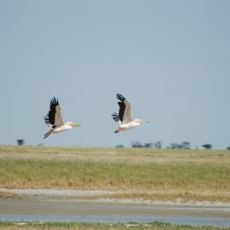
Nata Bird Sanctuary
26.4 km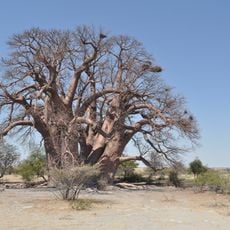
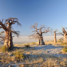
Chapman’s Baobab
121.4 km
Sun set point
23.1 km
Scenic viewpoint
25.2 km
Lookout platform
101.9 km
Tjumutjumuga
113.4 km
Modimotsebe Cattle Post
79 km
Zebra Waterhole
125.3 km
Grass Plain
125.1 km
Giant Baobab Tree
105.8 km
Domboshaba ruins
100.4 km
Sun set point
23 km
Sun set point
23 km
Nata Wildlife Sanctuary
28.5 km
Home
124.8 km
Green's Baobab
123.8 km
Hide
30.5 km
Kaoza Spring
111.2 km
Kubu Island
74.3 km
Scenic viewpoint
29.6 km
Scenic viewpoint
30.6 km
Scenic viewpoint
55 km
Scenic viewpoint
54.4 km
Big Baobab Tree
55.8 km
Roam Rock
73.3 km
The Hunters Road
125.7 km
Kagiso Funeral Palour(FSG)
132.4 kmReviews
Visited this place? Tap the stars to rate it and share your experience / photos with the community! Try now! You can cancel it anytime.
Discover hidden gems everywhere you go!
From secret cafés to breathtaking viewpoints, skip the crowded tourist spots and find places that match your style. Our app makes it easy with voice search, smart filtering, route optimization, and insider tips from travelers worldwide. Download now for the complete mobile experience.

A unique approach to discovering new places❞
— Le Figaro
All the places worth exploring❞
— France Info
A tailor-made excursion in just a few clicks❞
— 20 Minutes