Domboshaba ruins
Location: North-East District
GPS coordinates: -20.59946,27.37310
Latest update: October 31, 2025 20:37

Matobo National Park
118.4 km
Matobo Hills
118 km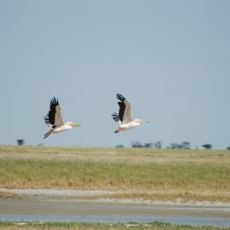
Nata Bird Sanctuary
120.4 km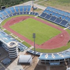
Francistown Stadium
63.8 km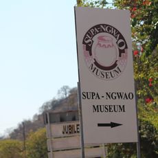
Supa Ngwao Museum
65.5 km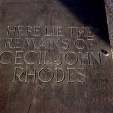
Rhodes Grave
119.5 km
Scenic viewpoint
119.5 km
Nswatugi Cave
115.1 km
Kenneth Nkhwa Interchange
65.6 km
Sua Town Turn TJunction
100.4 km
Sun set point
117.8 km
Sun set point
117.9 km
Sun set point
117.8 km
Mother & Child rock formation
110.5 km
Nata Wildlife Sanctuary
117.5 km
Scenic viewpoint
107.5 km
Zhamando Hide
107.6 km
Sunshine Plaza
67.6 km
Telecom Antenna
68.6 km
Old Water Tank
67.3 km
Telecom Antenna
68.6 km
Telecom Antenna
91.6 km
Kagiso Funeral Palour(FSG)
61.9 km
Thusanyo Funeral Palour
64.2 km
Monarch Cemetery
62.5 km
Ruth Funeral Palour
65.3 km
Sir James Gordon Mc Donalds Monument
119.2 km
Langs Feild Memorial
118.7 kmReviews
Visited this place? Tap the stars to rate it and share your experience / photos with the community! Try now! You can cancel it anytime.
Discover hidden gems everywhere you go!
From secret cafés to breathtaking viewpoints, skip the crowded tourist spots and find places that match your style. Our app makes it easy with voice search, smart filtering, route optimization, and insider tips from travelers worldwide. Download now for the complete mobile experience.

A unique approach to discovering new places❞
— Le Figaro
All the places worth exploring❞
— France Info
A tailor-made excursion in just a few clicks❞
— 20 Minutes